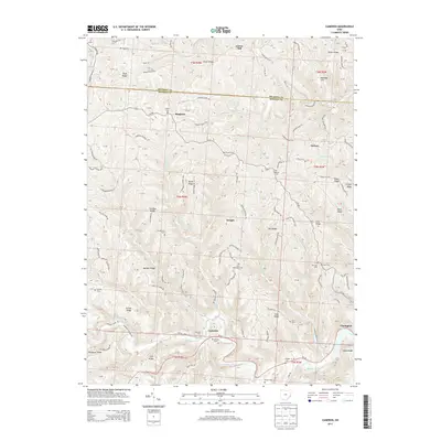
2013 Map of Cameron
USGS Topo · Published 2013About this map
Sunfish Creek carves a deep valley through the high plateau of the Ohio River hinterlands, anchoring a landscape defined by sharp ridges and winding township roads. Small rural hubs such as Cameron and Dwight sit along these historic corridors, while the village of Clarington marks the eastern edge near the river. The area is characterized by an exceptional density of family and community burial grounds, including Captina Cem, Ruble Cem, and Zion Methodist Cem, which serve as vital markers of the nineteenth-century settlement patterns in Monroe County.
Find a feature on this map
141 named features on this map. Tap any name to fly to it.
Don’t see what you’re looking for? This feature index may not catch every label — zoom into the map to look around manually.
Map Details
Editions of this 2013 Cameron Map
This is the sole edition of this map. No revisions or reprints were ever made.
Other maps of this area

1905 · Clarington
USGS Topo · 1:62,500

1905 · New Matamoras
USGS Topo · 1:62,500

1905 · Woodsfield
USGS Topo · 1:62,500

1906 · New Martinsville
USGS Topo · 1:62,500

1924 · New Martinsville
USGS Topo · 1:62,500

1924 · New Matamoras
USGS Topo · 1:62,500

1926 · New Martinsville
USGS Topo · 1:62,500

1926 · New Matamoras
USGS Topo · 1:62,500

1935 · Clarington
USGS Topo · 1:62,500

1940 · Clarington
USGS Topo · 1:62,500