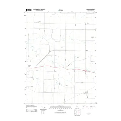
2012 Map of Cameron
USGS Topo · Published 2012About this map
Cameron and Gerlaw anchor this agricultural landscape in Warren County, where the transition from traditional farming to modern aviation is marked by the presence of Youngs Landing Strip and Hawkins Farms Landing Strip. The area is bisected by the winding courses of Cedar Cr and Talbot Cr, which create a varied topography amidst the strictly gridded sectional roads. For local historians and genealogists, the map is a detailed record of rural community life, preserving the locations of several burial grounds such as Gerlaw Cem and Patterson Cem. Near the center of the sheet, the settlement of Coldbrook sits along Coldbrook Rd, serving as a waypoint in a region defined by its reliance on both road networks and private airstrips. The inclusion of Gibson Woods Golf Course near the western edge further reflects the development of recreational spaces within this established Illinois prairie setting.
Find a feature on this map
34 named features on this map. Tap any name to fly to it.
Don’t see what you’re looking for? This feature index may not catch every label — zoom into the map to look around manually.
Map Details
Editions of this 2012 Cameron Map
This is the sole edition of this map. No revisions or reprints were ever made.
Other maps of this area

1921 · Monmouth
USGS Topo · 1:62,500

1923 · Monmouth
USGS Topo · 1:62,500

1923 · Alexis
USGS Topo · 1:62,500

1925 · Alexis
USGS Topo · 1:62,500

1925 · Galesburg
USGS Topo · 1:62,500

1927 · Galesburg
USGS Topo · 1:62,500

1947 · Woodhull
USGS Topo · 1:62,500

1958 · Burlington
USGS Topo · 1:250,000

1958 · Davenport
USGS Topo · 1:250,000

1961 · Burlington
USGS Topo · 1:250,000