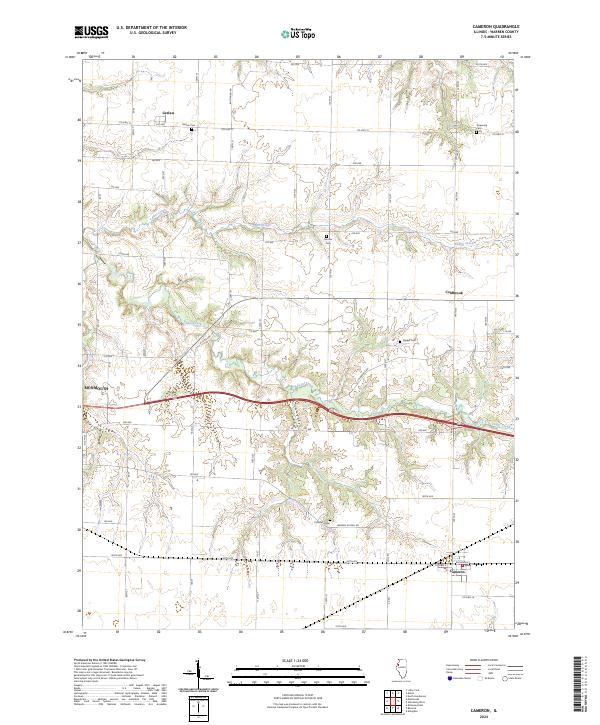
2024 Map of Cameron
USGS Topo · Published 2024About this map
Gerlaw and Coldbrook anchor the northern reaches of this Warren County landscape, where the prairie is deeply incised by the drainages of Cedar Creek and Talbot Creek. The terrain reveals a transition from the structured agricultural grid of roads like 255 Ave and Buchanan Rd to the more sinuous topography surrounding the creek beds. This 2024 survey captures the enduring rural character of the region, punctuated by a significant number of family and community burial grounds, including the Gerlaw Cem, Terpening Cem, and Patterson Cem. These sites, often located on higher ground near the township lines, offer vital anchors for genealogical research. The southern edge of the map features the village of Cameron, situated along the rail corridor and Co Hwy 16, while the eastern outskirts of Monmouth touch the western boundary, showing the intersection of local routes like Old US Hwy 34 with the modern highway system.
Find a feature on this map
54 named features on this map. Tap any name to fly to it.
Don’t see what you’re looking for? This feature index may not catch every label — zoom into the map to look around manually.
Map Details
Editions of this 2024 Cameron Map
This is the sole edition of this map. No revisions or reprints were ever made.
Other maps of this area

1921 · Monmouth
USGS Topo · 1:62,500

1923 · Monmouth
USGS Topo · 1:62,500

1923 · Alexis
USGS Topo · 1:62,500

1925 · Alexis
USGS Topo · 1:62,500

1925 · Galesburg
USGS Topo · 1:62,500

1927 · Galesburg
USGS Topo · 1:62,500

1947 · Woodhull
USGS Topo · 1:62,500

1958 · Burlington
USGS Topo · 1:250,000

1958 · Davenport
USGS Topo · 1:250,000

1961 · Burlington
USGS Topo · 1:250,000