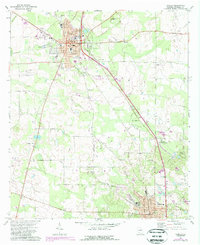
1971 Map of Camilla
USGS Topo · Published 1988About this map
Camilla and Pelham serve as the primary anchors of this Mitchell County landscape, connected by a network of roads and rail lines that cut through the surrounding agricultural and timber lands. The topography is defined by subtle depressions and water features like Big Slough and Tuggles Sink, which influence the local drainage and settlement patterns. Residential and civic development is concentrated around the town centers, where institutions such as the High Sch and various local churches provide a social framework for the community.
Find a feature on this map
29 named features on this map. Tap any name to fly to it.
Don’t see what you’re looking for? This feature index may not catch every label — zoom into the map to look around manually.
Map Details
Editions of this 1971 Camilla Map
2 editions found
Other maps of this area

1953 · Dothan
USGS Topo · 1:250,000

1954 · Dothan
USGS Topo · 1:250,000

1955 · Dothan
USGS Topo · 1:250,000

1956 · Baconton
USGS Topo · 1:62,500

1956 · Newton
USGS Topo · 1:62,500

1971 · Meigs
USGS Topo · 1:24,000

1971 · Gee Pond
USGS Topo · 1:24,000

1971 · Camilla
USGS Topo · 1:24,000

1971 · Cotton
USGS Topo · 1:24,000
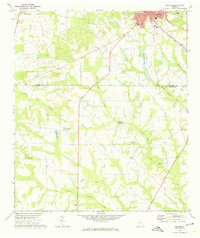
1971 · Pelham
USGS Topo · 1:24,000