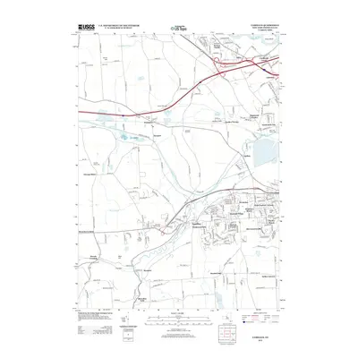
2013 Map of Camillus
USGS Topo · Published 2013About this map
The Old Erie Canal cuts a historic path across this Onondaga County landscape, serving as a reminder of the region's transport legacy even as modern infrastructure like the Warners Rest Area and Interstate 690 take prominence. The area is defined by a dense network of suburban developments and smaller hamlets, from Seneca Knolls and Lindbergh Lawns in the north to the industrial-tinged Marcellus Falls along the southern edge.
Find a feature on this map
227 named features on this map. Tap any name to fly to it.
Don’t see what you’re looking for? This feature index may not catch every label — zoom into the map to look around manually.
Map Details
Editions of this 2013 Camillus Map
This is the sole edition of this map. No revisions or reprints were ever made.
Other maps of this area

1895 · Syracuse
USGS Topo · 1:62,500

1898 · Syracuse
USGS Topo · 1:62,500

1899 · Skaneateles
USGS Topo · 1:62,500

1900 · Baldwinsville
USGS Topo · 1:62,500

1900 · Tully
USGS Topo · 1:62,500

1902 · Skaneateles
USGS Topo · 1:62,500

1939 · Syracuse West
USGS Topo · 1:24,000

1940 · Brewerton
USGS Topo · 1:24,000

1943 · South Onondaga
USGS Topo · 1:31,680

1943 · Jordan
USGS Topo · 1:31,680