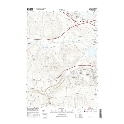
2016 Map of Camillus
USGS Topo · Published 2016About this map
The Old Erie Canal remains a prominent geographic landmark across this central New York landscape, marking a legacy of nineteenth-century transport that persists alongside modern infrastructure. The area is characterized by a dense network of suburban developments and historical hamlets such as Warners, Amboy, and Marcellus Falls. Significant genealogical detail is preserved through numerous burial grounds, including the Sears Cem, Warners Village Cem, and Oswego Bitter Cem.
Find a feature on this map
179 named features on this map. Tap any name to fly to it.
Don’t see what you’re looking for? This feature index may not catch every label — zoom into the map to look around manually.
Map Details
Editions of this 2016 Camillus Map
This is the sole edition of this map. No revisions or reprints were ever made.
Other maps of this area

1895 · Syracuse
USGS Topo · 1:62,500

1898 · Syracuse
USGS Topo · 1:62,500

1899 · Skaneateles
USGS Topo · 1:62,500

1900 · Baldwinsville
USGS Topo · 1:62,500

1900 · Tully
USGS Topo · 1:62,500

1902 · Skaneateles
USGS Topo · 1:62,500

1939 · Syracuse West
USGS Topo · 1:24,000

1940 · Brewerton
USGS Topo · 1:24,000

1943 · South Onondaga
USGS Topo · 1:31,680

1943 · Jordan
USGS Topo · 1:31,680