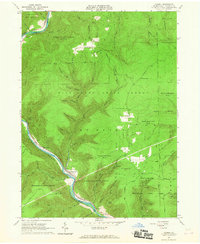
1965 Map of Cammal
USGS Topo · Published 1967About this map
Pine Creek cuts a deep path through the Tiadaghton State Forest in this mid-1960s survey of Lycoming County. The settlement of Cammal serves as a focal point along the river, where the New York Central railroad tracks follow the water's edge through the Gorge. This area is defined by its dramatic topographic relief and extensive protected lands, including State Game Lands No 68 and State Game Lands No 75. Evidence of upland habitation and local industry appears at small clearings like Beulah Land, Okome, and a Quarry near the village. The map detail highlights the intersection of early transportation and resource extraction, with features such as Ross Siding and Lebo Vista providing specific coordinates for genealogical and historical research. A network of primitive roads, including Old Township Road and Schoolhouse Road, connects these isolated forest outposts.
Find a feature on this map
68 named features on this map. Tap any name to fly to it.
Don’t see what you’re looking for? This feature index may not catch every label — zoom into the map to look around manually.
Map Details
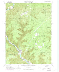
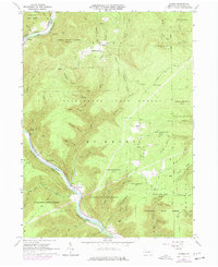
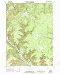
Editions of this 1965 Cammal Map
4 editions found
Other maps of this area

1935 · Waterville
USGS Topo · 1:24,000

1937 · Waterville
USGS Topo · 1:48,000

1943 · Hyner
USGS Topo · 1:62,500

1943 · Waterville
USGS Topo · 1:62,500

1946 · Antrim
USGS Topo · 1:62,500

1946 · Renovo East
USGS Topo · 1:62,500

1946 · Cedar Run
USGS Topo · 1:24,000

1946 · Slate Run
USGS Topo · 1:24,000

1946 · Glen Union
USGS Topo · 1:24,000

1946 · Morris
USGS Topo · 1:24,000
Featured Places
- Brown Township, PA
- Lebo Vista, McHenry Township
- Bluestone, McHenry Township
- Hilborn, Brown Township
- McHenry Township, PA