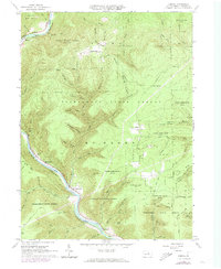
1965 Map of Cammal
USGS Topo · Published 1973About this map
Pine Creek carves a deep valley through the high plateaus of Lycoming County, serving as the central artery for transport and topography in this part of the Tiadaghton State Forest. The village of Cammal sits at a critical junction where several mountain runs meet the main creek, anchored by the Penn Central rail line that follows the water's edge. This 1965 field-checked survey highlights a landscape dominated by conservation and recreation, including State Game Lands No 75 and State Game Lands No 68. While much of the area is densely forested with hollows like Gibson Hollow and O'Brian Hollow, small settlements and clearings such as Beulah Land, Okome, and Hilborn persist. Cultural landmarks include Lebo Vista and Ross Siding, providing evidence of the region's long-standing connection to both timber history and early rail infrastructure.
Find a feature on this map
65 named features on this map. Tap any name to fly to it.
Don’t see what you’re looking for? This feature index may not catch every label — zoom into the map to look around manually.
Map Details
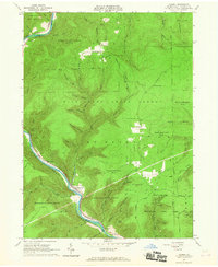
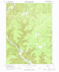
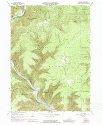
Editions of this 1965 Cammal Map
4 editions found
Other maps of this area

1935 · Waterville
USGS Topo · 1:24,000

1937 · Waterville
USGS Topo · 1:48,000

1943 · Hyner
USGS Topo · 1:62,500

1943 · Waterville
USGS Topo · 1:62,500

1946 · Antrim
USGS Topo · 1:62,500

1946 · Renovo East
USGS Topo · 1:62,500

1946 · Cedar Run
USGS Topo · 1:24,000

1946 · Slate Run
USGS Topo · 1:24,000

1946 · Glen Union
USGS Topo · 1:24,000

1946 · Morris
USGS Topo · 1:24,000
Featured Places
- Brown Township, PA
- Lebo Vista, McHenry Township
- Bluestone, McHenry Township
- Hilborn, Brown Township
- McHenry Township, PA