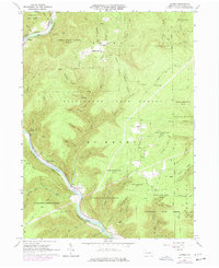
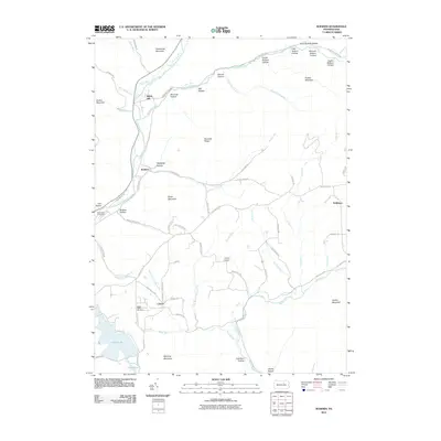
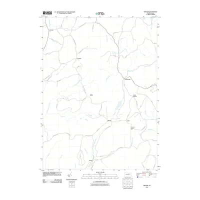
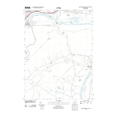
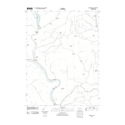
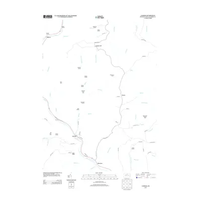
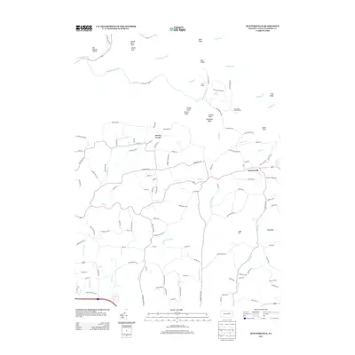
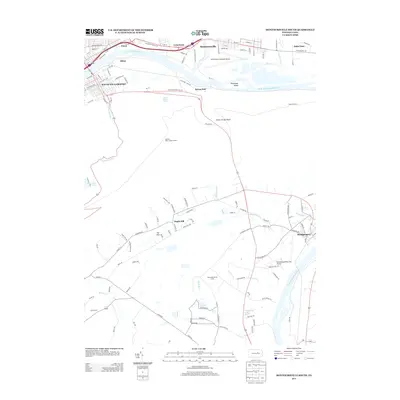
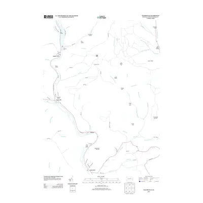
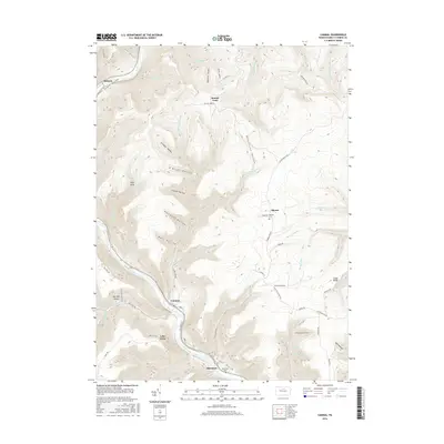
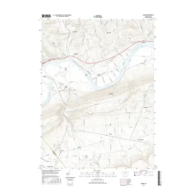
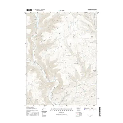
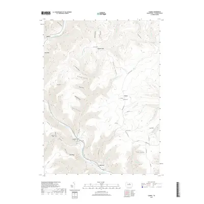
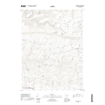
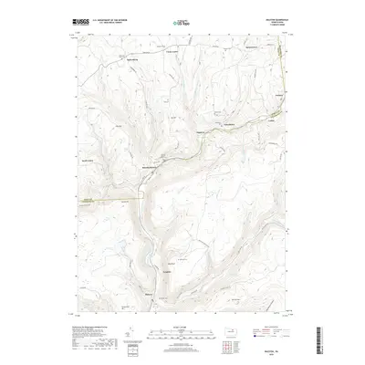
1965 Map of Cammal
USGS Topo · Published 1977About this map
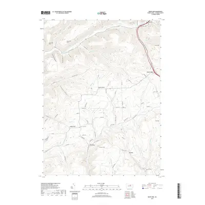
Cammal sits at the base of the Pine Creek Gorge, serving as a central point where several drainage branches meet the main waterway in Lycoming County. The mid-1960s landscape is defined by the heavy presence of public conservation and hunting grounds, including Tiadaghton State Forest and large tracts of State Game Lands No 68 and State Game Lands No 75. Transportation through this steep terrain is facilitated by the Penn Central rail line, which follows the winding course of Pine Creek past riverside stops like Ross Siding and Bluestone.
Find a feature on this map
69 named features on this map. Tap any name to fly to it.
Don’t see what you’re looking for? This feature index may not catch every label — zoom into the map to look around manually.
Map Details
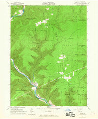
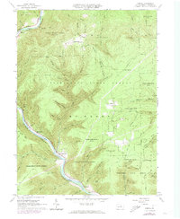
Editions of this 1965 Cammal Map
4 editions found
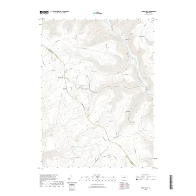
Historical Maps of Brown Township Through Time
116 maps found

1921 Trout Run
Lycoming County, PA

1923 Trout Run
Lycoming County, PA

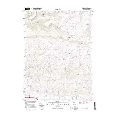
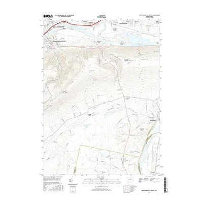
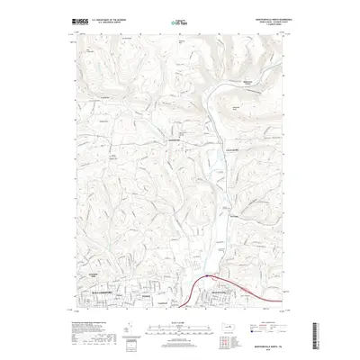
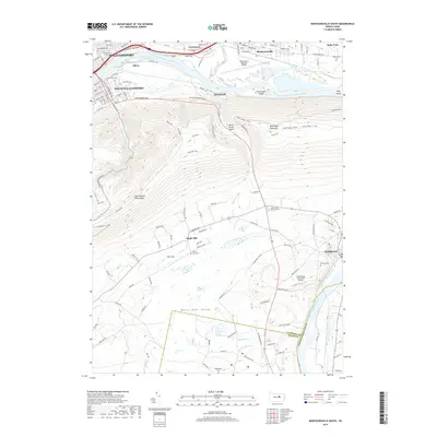
1930 Warrensville
Lycoming County, PA

1934 Warrensville
Lycoming County, PA

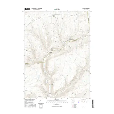
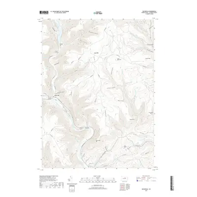
1935 Waterville
Lycoming County, PA

1937 Waterville
Lycoming County, PA

1943 Waterville
Lycoming County, PA

1944 Trout Run
Lycoming County, PA

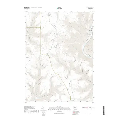
1946 Slate Run
Lycoming County, PA

1948 Slate Run
Lycoming County, PA

1953 Warrensville
Lycoming County, PA

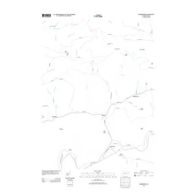
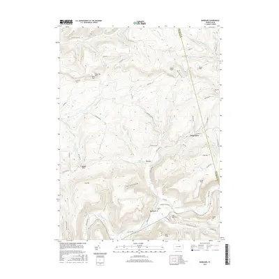
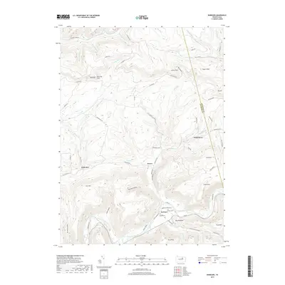
1965 Barbours
Lycoming County, PA

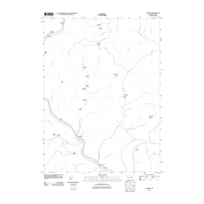
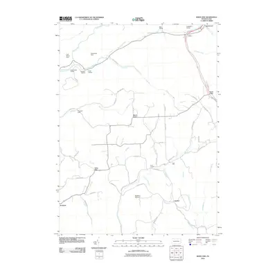
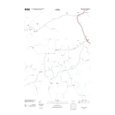
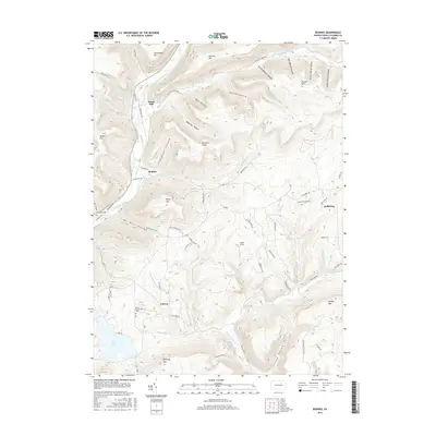
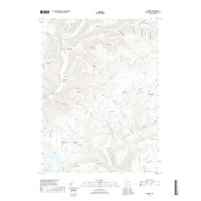
1965 Bodines
Lycoming County, PA

1965 Cammal
Lycoming County, PA

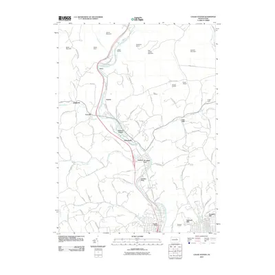
1965 Cogan Station
Lycoming County, PA

1965 English Center
Lycoming County, PA

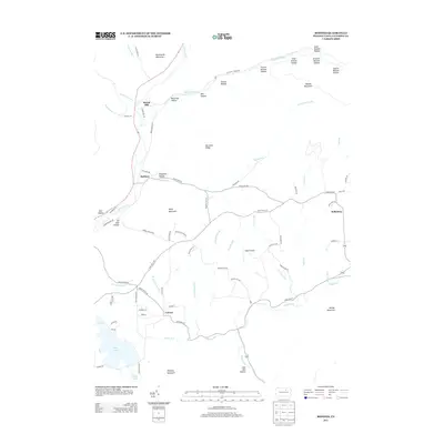
1965 Huntersville
Lycoming County, PA

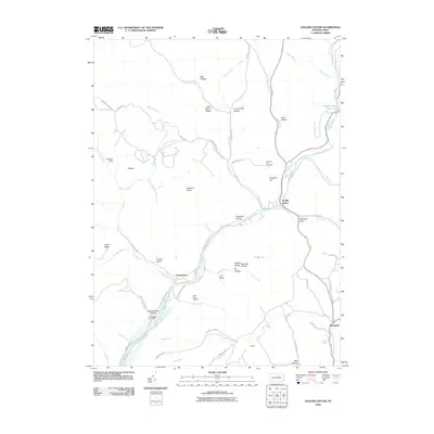
1965 Jersey Mills
Lycoming County, PA

1965 Linden
Lycoming County, PA

1965 Montoursville North
Lycoming County, PA

1965 Montoursville South
Lycoming County, PA

1965 Trout Run
Lycoming County, PA

1965 Waterville
Lycoming County, PA

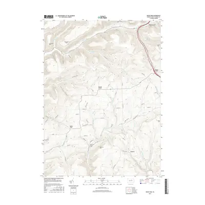
1965 White Pine
Lycoming County, PA

1969 Grover
Lycoming County, PA

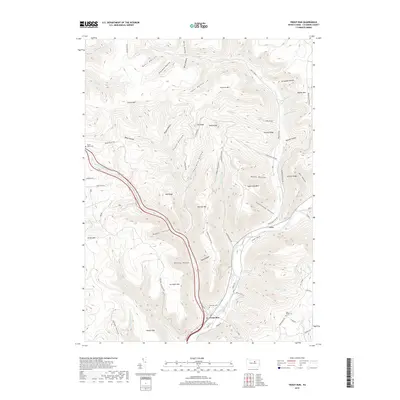
1969 Ralston
Lycoming County, PA

1977 Ralston
Lycoming County, PA

1984 Williamsport East
Lycoming County, PA

1994 Cammal
Lycoming County, PA

1994 Cogan Station
Lycoming County, PA

1994 English Center
Lycoming County, PA

1994 Montoursville South
Lycoming County, PA

1994 Slate Run
Lycoming County, PA

1994 Waterville
Lycoming County, PA

1995 Barbours
Lycoming County, PA

1999 Montoursville North
Lycoming County, PA
2010 Barbours
Lycoming County, PA
2010 Bodines
Lycoming County, PA
2010 Cammal
Lycoming County, PA
2010 Cogan Station
Lycoming County, PA
2010 English Center
Lycoming County, PA
2010 Grover
Lycoming County, PA
2010 Huntersville
Lycoming County, PA
2010 Jersey Mills
Lycoming County, PA

2010 Linden
Lycoming County, PA
2010 Montoursville North
Lycoming County, PA
2010 Montoursville South
Lycoming County, PA
2010 Ralston
Lycoming County, PA
2010 Slate Run
Lycoming County, PA
2010 Trout Run
Lycoming County, PA
2010 Waterville
Lycoming County, PA
2010 White Pine
Lycoming County, PA
2013 Barbours
Lycoming County, PA
2013 Bodines
Lycoming County, PA
2013 Cammal
Lycoming County, PA
2013 Cogan Station
Lycoming County, PA
2013 English Center
Lycoming County, PA
2013 Grover
Lycoming County, PA
2013 Huntersville
Lycoming County, PA
2013 Jersey Mills
Lycoming County, PA
2013 Linden
Lycoming County, PA
2013 Montoursville North
Lycoming County, PA
2013 Montoursville South
Lycoming County, PA
2013 Ralston
Lycoming County, PA
2013 Slate Run
Lycoming County, PA
2013 Trout Run
Lycoming County, PA
2013 Waterville
Lycoming County, PA
2013 White Pine
Lycoming County, PA
2016 Barbours
Lycoming County, PA
2016 Bodines
Lycoming County, PA
2016 Cammal
Lycoming County, PA
2016 Cogan Station
Lycoming County, PA
2016 English Center
Lycoming County, PA
2016 Grover
Lycoming County, PA
2016 Huntersville
Lycoming County, PA
2016 Jersey Mills
Lycoming County, PA
2016 Linden
Lycoming County, PA
2016 Montoursville North
Lycoming County, PA
2016 Montoursville South
Lycoming County, PA
2016 Ralston
Lycoming County, PA
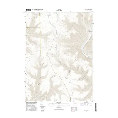
2016 Slate Run
Lycoming County, PA
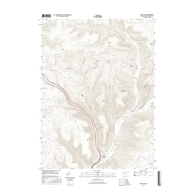
2016 Trout Run
Lycoming County, PA
2016 Waterville
Lycoming County, PA
2016 White Pine
Lycoming County, PA
2019 Barbours
Lycoming County, PA
2019 Bodines
Lycoming County, PA
2019 Cammal
Lycoming County, PA
2019 Cogan Station
Lycoming County, PA
2019 English Center
Lycoming County, PA
2019 Grover
Lycoming County, PA
2019 Huntersville
Lycoming County, PA
2019 Jersey Mills
Lycoming County, PA

2019 Linden
Lycoming County, PA
2019 Montoursville North
Lycoming County, PA
2019 Montoursville South
Lycoming County, PA
2019 Ralston
Lycoming County, PA
2019 Slate Run
Lycoming County, PA
2019 Trout Run
Lycoming County, PA
2019 Waterville
Lycoming County, PA
2019 White Pine
Lycoming County, PA

2023 Barbours
Lycoming County, PA

2023 Bodines
Lycoming County, PA

2023 Cammal
Lycoming County, PA

2023 Cogan Station
Lycoming County, PA

2023 English Center
Lycoming County, PA

2023 Grover
Lycoming County, PA

2023 Huntersville
Lycoming County, PA

2023 Jersey Mills
Lycoming County, PA

2023 Linden
Lycoming County, PA

2023 Montoursville North
Lycoming County, PA

2023 Montoursville South
Lycoming County, PA

2023 Ralston
Lycoming County, PA

2023 Slate Run
Lycoming County, PA

2023 Trout Run
Lycoming County, PA

2023 Waterville
Lycoming County, PA

2023 White Pine
Lycoming County, PA
Featured Locations
- Brown Township, PA
- McHenry Township, PA
- Hilborn, Brown Township
- Bluestone, McHenry Township
- Lebo Vista, McHenry Township