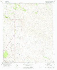
1966 Map of Cammerman Wash
USGS Topo · Published 1978About this map
The San Carlos Indian Reservation and Tonto National Forest meet in this mid-1960s topographical study of eastern Gila County. The terrain is defined by a network of seasonal watercourses and ridges, centered on the corridor of Cammerman Wash and the prominent Quartzite Peak. Mapping of this era reveals a landscape shaped by water management for livestock, with numerous catchments such as Butta Tank, CK Tank, and Ladd Tank scattered across the uplands.
Find a feature on this map
24 named features on this map. Tap any name to fly to it.
Don’t see what you’re looking for? This feature index may not catch every label — zoom into the map to look around manually.
Map Details
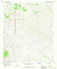
Editions of this 1966 Cammerman Wash Map
2 editions found
Other maps of this area

1901 · Globe
USGS Topo · 1:62,500

1902 · Globe
USGS Topo · 1:62,500

1922 · Chrysotile
USGS Topo · 1:125,000

1945 · Globe
USGS Topo · 1:24,000

1949 · Rockinstraw Mtn
USGS Topo · 1:62,500

1950 · Rockinstraw Mtn
USGS Topo · 1:62,500

1954 · Mesa
USGS Topo · 1:250,000

1957 · Mesa
USGS Topo · 1:250,000

1958 · Mesa
USGS Topo · 1:250,000

1960 · Mesa
USGS Topo · 1:250,000