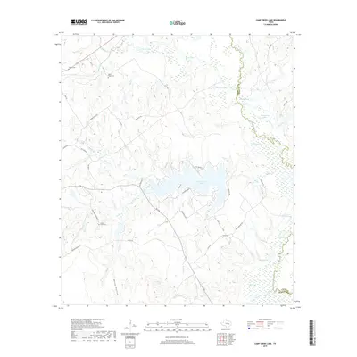
2019 Map of Camp Creek Lake
USGS Topo · Published 2019About this map
The Navasota River forms a wandering natural boundary between Robertson and Leon Counties, anchoring a landscape defined by expansive wetlands and oxbow formations. This 2019 survey captures the complex hydrology of the basin, where the river bypasses older water bodies like Wilburn Lake, Sulphur Lake, and Malochomy Lake. The central feature, Camp Creek Lake, was created by damming Camp Creek, and its irregular shoreline is now traced by residential access roads like Clyde Acord Road and Haney Rd.
Find a feature on this map
63 named features on this map. Tap any name to fly to it.
Don’t see what you’re looking for? This feature index may not catch every label — zoom into the map to look around manually.
Map Details
Editions of this 2019 Camp Creek Lake Map
This is the sole edition of this map. No revisions or reprints were ever made.
Other maps of this area

1925 · Iola No 2
USGS Topo · 1:48,000

1925 · Marquez No. 1
USGS Topo · 1:48,000

1925 · Marquez No. 4
USGS Topo · 1:48,000

1927 · Marquez
USGS Topo · 1:62,500

1930 · Marquez
USGS Topo · 1:62,500

1931 · Iola
USGS Topo · 1:62,500

1954 · Waco
USGS Topo · 1:250,000

1954 · Austin
USGS Topo · 1:250,000

1955 · Waco
USGS Topo · 1:250,000

1962 · Edge
USGS Topo · 1:24,000