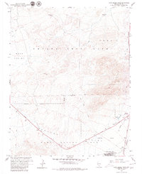
1961 Map of Camp Desert Rock
USGS Topo · Published 1979About this map
The Nevada Test Site dominates this 1961 landscape, specifically within the Area 5 sector near the southern boundary of the Military Reservation. This survey represents a critical moment in Cold War history, detailing the infrastructure supporting the Atomic Energy Commission's operations. Camp Desert Rock is situated at the southern edge of the quadrangle, connected to the broader site via Desert Rock Drive and the Mercury Highway. The map illustrates the functional layout of the facility, including an Airstrip, Heliport, and a Radio Tower, which contrast with the surrounding desert terrain features like Jackass Flats and Red Mountain. A Mercury Underground Telephone Line traces along the highway, while natural features like Tupapa Seep Spring provide a stark counterpoint to the industrial Sewage Disposal and Pumping Plant facilities required for the base's operations.
Find a feature on this map
25 named features on this map. Tap any name to fly to it.
Don’t see what you’re looking for? This feature index may not catch every label — zoom into the map to look around manually.
Map Details
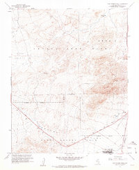
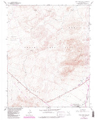
Editions of this 1961 Camp Desert Rock Map
3 editions found
Other maps of this area

1907 · Las Vegas
USGS Topo · 1:250,000

1908 · Furnace Creek
USGS Topo · 1:250,000

1908 · Las Vegas
USGS Topo · 1:250,000

1910 · Furnace Creek
USGS Topo · 1:250,000

1942 · Indian Spring
USGS Topo · 1:125,000

1942 · Skull Mountain
USGS Topo · 1:125,000

1948 · Death Valley
USGS Topo · 1:250,000

1952 · Specter Range
USGS Topo · 1:62,500

1952 · Mercury
USGS Topo · 1:62,500
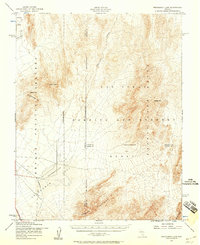
1952 · Frenchman Lake
USGS Topo · 1:62,500