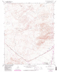
1961 Map of Camp Desert Rock
USGS Topo · Published 1984About this map
Camp Desert Rock stands as a focal point in this 1961 survey, conducted by the USGS in cooperation with the Atomic Energy Commission. Located within the Nevada Test Site, the installation and its adjacent Desert Rock Airport highlight the region's mid-century role in defense and scientific research. The terrain is a network of alluvial basins and desert peaks, including Rock Valley, Jackass Flats, and Mercury Valley, bounded by prominent elevations such as Red Mountain. Infrastructure of the era is clearly visible, from the Mercury Highway to the Mercury Underground Telephone Line, while natural features like Tupapa Seep Spring and Coyote Spring offer contrast to the industrial footprints of a Sewage Disposal plant and various gravel pits. The indefinite Nevada Test Site Boundary cuts across the southwestern landscape, marking the transition between open desert and restricted government territory.
Find a feature on this map
27 named features on this map. Tap any name to fly to it.
Don’t see what you’re looking for? This feature index may not catch every label — zoom into the map to look around manually.
Map Details
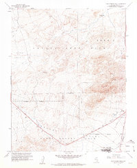
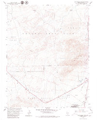
Editions of this 1961 Camp Desert Rock Map
3 editions found
Other maps of this area

1907 · Las Vegas
USGS Topo · 1:250,000

1908 · Furnace Creek
USGS Topo · 1:250,000

1908 · Las Vegas
USGS Topo · 1:250,000

1910 · Furnace Creek
USGS Topo · 1:250,000

1942 · Indian Spring
USGS Topo · 1:125,000

1942 · Skull Mountain
USGS Topo · 1:125,000

1948 · Death Valley
USGS Topo · 1:250,000

1952 · Specter Range
USGS Topo · 1:62,500

1952 · Mercury
USGS Topo · 1:62,500
1952 · Frenchman Lake
USGS Topo · 1:62,500