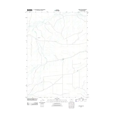
2011 Map of Camp Four
USGS Topo · Published 2011About this map
Beauvais Creek and Muddy Creek define the drainage of this Big Horn County landscape, where water management is marked by infrastructure like the Erb Number 1 Dam. The topography is anchored by the prominent Twin Peaks, overlooking a network of rural routes including the Pryor Cutoff and Pryor St X Rd. Settlement is concentrated at Camp Four, a localized hub within an area otherwise characterized by its branching stream systems and open terrain. The map captures the coordination of modern transit and traditional land use at the beginning of the second decade of the 21st century, showing how drainage patterns and roads like Mott Creek and the surrounding rangeland dictate the placement of human habitation.
Find a feature on this map
8 named features on this map. Tap any name to fly to it.
Don’t see what you’re looking for? This feature index may not catch every label — zoom into the map to look around manually.
Map Details
Editions of this 2011 Camp Four Map
This is the sole edition of this map. No revisions or reprints were ever made.
Other maps of this area

1893 · Huntley
USGS Topo · 1:125,000

1894 · St. Xavier
USGS Topo · 1:125,000

1894 · Fort Custer
USGS Topo · 1:125,000

1901 · St. Xavier
USGS Topo · 1:125,000

1915 · Spenceville
USGS Topo · 1:31,680

1954 · Billings
USGS Topo · 1:250,000

1954 · Hardin
USGS Topo · 1:250,000

1957 · Hardin
USGS Topo · 1:250,000

1957 · Billings
USGS Topo · 1:250,000

1958 · Billings
USGS Topo · 1:250,000