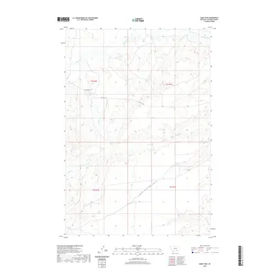
2020 Map of Camp Four
USGS Topo · Published 2020About this map
Camp Four sits at the heart of this landscape in Big Horn County, where the high plains of Montana meet a complex drainage system. The terrain is defined by the prominent Twin Peaks and a network of seasonal watercourses, including the westward-flowing Mott Cr and the northern reaches of Beauvais Cr. Transportation in this area is sparse, primarily centered around the Pryor-St X Rd, which traverses the central portion of the quadrangle. The hydrology reveals a detailed pattern of coulees, most notably Hay Coulee and its South Fork Hay Coulee, which carve through the south-central sections. These features suggest a region primarily used for grazing and resource management, where water access and elevation dictate the utility of the land. The map also traces Muddy Cr as it winds through the western township boundaries.
Find a feature on this map
12 named features on this map. Tap any name to fly to it.
Don’t see what you’re looking for? This feature index may not catch every label — zoom into the map to look around manually.
Map Details
Editions of this 2020 Camp Four Map
This is the sole edition of this map. No revisions or reprints were ever made.
Other maps of this area

1893 · Huntley
USGS Topo · 1:125,000

1894 · St. Xavier
USGS Topo · 1:125,000

1894 · Fort Custer
USGS Topo · 1:125,000

1901 · St. Xavier
USGS Topo · 1:125,000

1915 · Spenceville
USGS Topo · 1:31,680

1954 · Billings
USGS Topo · 1:250,000

1954 · Hardin
USGS Topo · 1:250,000

1957 · Hardin
USGS Topo · 1:250,000

1957 · Billings
USGS Topo · 1:250,000

1958 · Billings
USGS Topo · 1:250,000