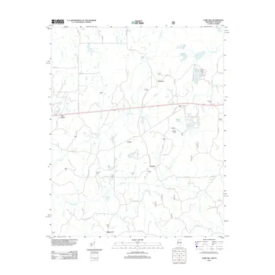
2012 Map of Camp Hill
USGS Topo · Published 2012About this map
The Wolf River meanders through the heart of this landscape, defining the topography of northern Mississippi as it collects tributaries like Goose Cr and Grogg Cr. The area is characterized by a high density of rural burial sites, including the Zion Chapel Cem, Black Jack Cem, and the uniquely named Hensley and Glover Cem. These landmarks serve as vital nodes for genealogical research in small settlements such as New Canaan, Hopewell, and Black Jack.
Find a feature on this map
81 named features on this map. Tap any name to fly to it.
Don’t see what you’re looking for? This feature index may not catch every label — zoom into the map to look around manually.
Map Details
Editions of this 2012 Camp Hill Map
This is the sole edition of this map. No revisions or reprints were ever made.
Other maps of this area

1950 · Ashland
USGS Topo · 1:62,500

1950 · Middleton
USGS Topo · 1:24,000

1950 · Grand Junction
USGS Topo · 1:24,000

1951 · Middleton
USGS Topo · 1:24,000

1951 · Grand Junction
USGS Topo · 1:24,000

1951 · Walnut
USGS Topo · 1:62,500

1952 · Saulsbury
USGS Topo · 1:24,000

1956 · Blytheville
USGS Topo · 1:250,000

1956 · Tupelo
USGS Topo · 1:250,000

1958 · Tupelo
USGS Topo · 1:250,000