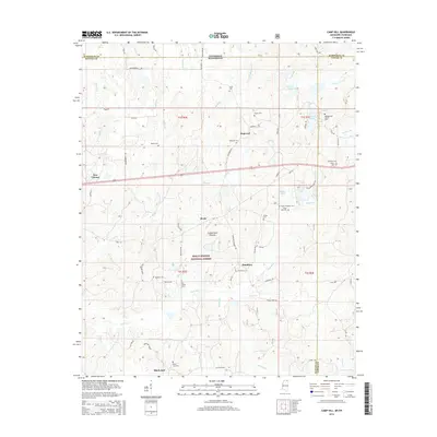
2015 Map of Camp Hill
USGS Topo · Published 2015About this map
The Wolf River meanders across this landscape on the border of Tennessee and Mississippi, carving through a region defined by small rural settlements and a dense network of family cemeteries. Within the southern portion of the map, the Holly Springs National Forest encompasses much of the wooded terrain surrounding Black Jack and Hamilton. The topography rises toward the Cumberland Plateau in the central part of the quadrangle, where the community of Brody sits along Hwy 72. Genealogists will find a significant concentration of burial sites, including the Zion Chapel Cem and Hensley and Glover Cem. The settlement patterns here follow the various watercourses, with Hopewell and New Canaan situated near the headwaters of numerous creeks like Grogg Cr and Mill Br that feed into the larger river system.
Find a feature on this map
80 named features on this map. Tap any name to fly to it.
Don’t see what you’re looking for? This feature index may not catch every label — zoom into the map to look around manually.
Map Details
Editions of this 2015 Camp Hill Map
This is the sole edition of this map. No revisions or reprints were ever made.
Other maps of this area

1950 · Ashland
USGS Topo · 1:62,500

1950 · Middleton
USGS Topo · 1:24,000

1950 · Grand Junction
USGS Topo · 1:24,000

1951 · Middleton
USGS Topo · 1:24,000

1951 · Grand Junction
USGS Topo · 1:24,000

1951 · Walnut
USGS Topo · 1:62,500

1952 · Saulsbury
USGS Topo · 1:24,000

1956 · Blytheville
USGS Topo · 1:250,000

1956 · Tupelo
USGS Topo · 1:250,000

1958 · Tupelo
USGS Topo · 1:250,000