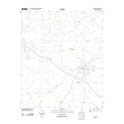
2011 Map of Camp Hill
USGS Topo · Published 2011About this map
Camp Hill serves as the primary hub of this eastern Alabama landscape, where the Camp Hill Post Office and local streets anchor a region defined by its creek valleys and rural crossroads. The topography is shaped by the winding course of Chattasofka Creek and the notable rise of Doss Mountain to the north. Smaller communities like Slaughters, Agricola, and Pine Grove are connected by a network of descriptive local roads, including Booger Hollow Rd and Stave Mill Rd, which suggest the historic timber and agricultural character of the county.
Find a feature on this map
82 named features on this map. Tap any name to fly to it.
Don’t see what you’re looking for? This feature index may not catch every label — zoom into the map to look around manually.
Map Details
Editions of this 2011 Camp Hill Map
This is the sole edition of this map. No revisions or reprints were ever made.
Other maps of this area

1906 · Dadeville
USGS Topo · 1:125,000

1955 · Phenix City
USGS Topo · 1:250,000

1957 · Phenix City
USGS Topo · 1:250,000

1958 · Phenix City
USGS Topo · 1:250,000

1971 · Waverly
USGS Topo · 1:24,000
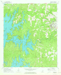
1971 · Dadeville
USGS Topo · 1:24,000

1971 · Ponders
USGS Topo · 1:24,000
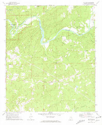
1971 · Buttston
USGS Topo · 1:24,000
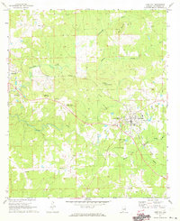
1971 · Camp Hill
USGS Topo · 1:24,000

1971 · Thornton
USGS Topo · 1:24,000