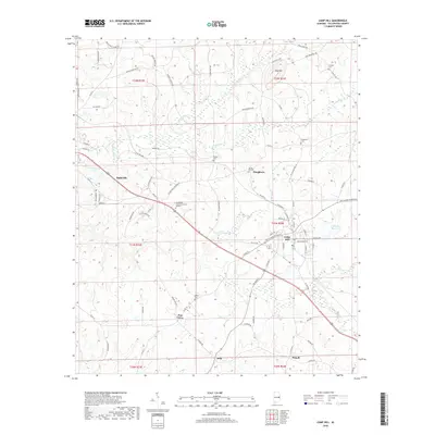
2018 Map of Camp Hill
USGS Topo · Published 2018About this map
The town of Camp Hill and the eastern edge of Dadeville anchor this 2018 survey of eastern Alabama, where the landscape transitions between developed corridors and creek bottomlands. Several family and community burial grounds, such as Langley Cem, Slaughters Cem, and Morgan Cem, are scattered across the terrain, reflecting the long-standing genealogical roots of this part of Tallapoosa County. The land is drained by waterways like Chattasofka Cr and N Fork Sandy Cr, while higher elevations are marked by Doss Mtn.
Find a feature on this map
85 named features on this map. Tap any name to fly to it.
Don’t see what you’re looking for? This feature index may not catch every label — zoom into the map to look around manually.
Map Details
Editions of this 2018 Camp Hill Map
This is the sole edition of this map. No revisions or reprints were ever made.
Other maps of this area

1906 · Dadeville
USGS Topo · 1:125,000

1955 · Phenix City
USGS Topo · 1:250,000

1957 · Phenix City
USGS Topo · 1:250,000

1958 · Phenix City
USGS Topo · 1:250,000

1971 · Waverly
USGS Topo · 1:24,000
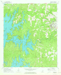
1971 · Dadeville
USGS Topo · 1:24,000

1971 · Ponders
USGS Topo · 1:24,000
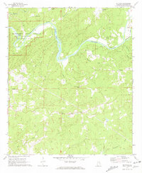
1971 · Buttston
USGS Topo · 1:24,000
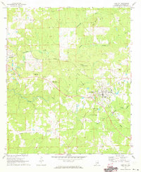
1971 · Camp Hill
USGS Topo · 1:24,000

1971 · Thornton
USGS Topo · 1:24,000