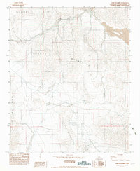
1982 Map of Camp Rock Mine
USGS Topo · Published 1983About this map
Mining activity and rugged desert topography dominate this 1980s landscape in the High Desert of San Bernardino County. The area is defined by the convergence of several major ranges, including the Newberry Mountains, Rodman Mountains, and the Fry Mountains. Economic geology is central to the map's character, centered on the Camp Rock Mine and nearby Open Pit Mines. Unlike maps of settled agricultural valleys, the human footprint here is limited to extraction and exploration, evidenced by scattered labels for Drill Hole and various prospects. Hydrology is sparse in this arid environment, with drainage primarily managed through Kane Wash, leading toward the vital water source at Kane Springs. This survey documents the region just as modern mapping transitions from aerial photography to provisional digital standards.
Find a feature on this map
13 named features on this map. Tap any name to fly to it.
Don’t see what you’re looking for? This feature index may not catch every label — zoom into the map to look around manually.
Map Details
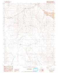
Editions of this 1982 Camp Rock Mine Map
2 editions found
Other maps of this area

1953 · San Bernardino
USGS Topo · 1:250,000

1955 · Silver Bell Mine
USGS Topo · 1:24,000

1955 · Newberry
USGS Topo · 1:62,500

1955 · Ord Mountains
USGS Topo · 1:62,500

1955 · Rodman Mountains
USGS Topo · 1:62,500

1956 · San Bernardino
USGS Topo · 1:250,000

1956 · Daggett
USGS Topo · 1:62,500

1957 · San Bernardino
USGS Topo · 1:250,000

1958 · San Bernardino
USGS Topo · 1:250,000

1959 · San Bernardino
USGS Topo · 1:250,000