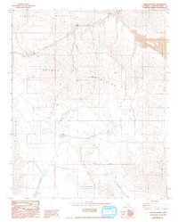
1982 Map of Camp Rock Mine
USGS Topo · Published 1993About this map
Fry Mountain and the Rodman Mountains define this high-desert landscape in San Bernardino County, where the map documents a sparse network of mining and navigation features in the early 1980s. The namesake Camp Rock Mine is the primary industrial focus of the quadrangle, surrounded by several smaller Prospects and unmarked Mine sites. The terrain is characterized by steep slopes and seasonal drainage patterns, notably Kane Wash and the nearby Kane Springs, which provided critical water resources in an otherwise arid environment.
Find a feature on this map
10 named features on this map. Tap any name to fly to it.
Don’t see what you’re looking for? This feature index may not catch every label — zoom into the map to look around manually.
Map Details
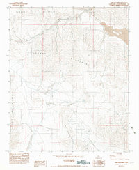
Editions of this 1982 Camp Rock Mine Map
2 editions found
Other maps of this area

1953 · San Bernardino
USGS Topo · 1:250,000

1955 · Silver Bell Mine
USGS Topo · 1:24,000

1955 · Newberry
USGS Topo · 1:62,500

1955 · Ord Mountains
USGS Topo · 1:62,500

1955 · Rodman Mountains
USGS Topo · 1:62,500

1956 · San Bernardino
USGS Topo · 1:250,000

1956 · Daggett
USGS Topo · 1:62,500

1957 · San Bernardino
USGS Topo · 1:250,000

1958 · San Bernardino
USGS Topo · 1:250,000

1959 · San Bernardino
USGS Topo · 1:250,000