
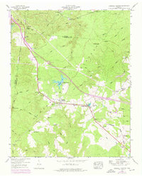
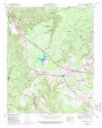
1946 Map of Campbell Junction
USGS Topo · Published 1974About this map
The Tennessee Central railroad defines the human geography of this high Cumberland Plateau landscape, cutting a diagonal path through small settlements like Mayland and Campbell Junction. These communities, appearing as they did in the mid-1940s, are anchored by local landmarks such as the Welch Cem and Rains Cem, which offer significant value for genealogical research in this part of Tennessee.
Find a feature on this map
70 named features on this map. Tap any name to fly to it.
Don’t see what you’re looking for? This feature index may not catch every label — zoom into the map to look around manually.
Map Details
Editions of this 1946 Campbell Junction Map
3 editions found
Other maps of this area

1892 · Pikeville
USGS Topo · 1:125,000

1895 · Pikeville
USGS Topo · 1:125,000

1897 · Standingstone
USGS Topo · 1:125,000

1898 · Standingstone
USGS Topo · 1:125,000

1912 · Crossville
USGS Topo · 1:62,500

1935 · Isoline
USGS Topo · 1:24,000

1935 · Campbell Junction
USGS Topo · 1:24,000

1935 · Clarkrange
USGS Topo · 1:24,000
1936 · Crossville
USGS Topo · 1:24,000

1943 · Cookeville
USGS Topo · 1:100,000