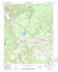
1946 Map of Campbell Junction
USGS Topo · Published 1989About this map
The high plateau of the Cumberland Plateau defines the landscape of this 1946 survey, where the Tennessee Valley Divide splits the headwaters of numerous creeks. Small settlements like Mayland and Campbell Junction serve as focal points along the transportation corridors, with an Old Railroad Grade and Pomona Road cutting across the terrain. Local history and genealogy are anchored by family landmarks such as Welch Cem, Rains Cem, and the oddly named The Cowpens in the south.
Find a feature on this map
42 named features on this map. Tap any name to fly to it.
Don’t see what you’re looking for? This feature index may not catch every label — zoom into the map to look around manually.
Map Details
Editions of this 1946 Campbell Junction Map
3 editions found

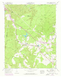
Other maps of this area

1892 · Pikeville
USGS Topo · 1:125,000

1895 · Pikeville
USGS Topo · 1:125,000

1897 · Standingstone
USGS Topo · 1:125,000

1898 · Standingstone
USGS Topo · 1:125,000

1912 · Crossville
USGS Topo · 1:62,500

1935 · Isoline
USGS Topo · 1:24,000

1935 · Campbell Junction
USGS Topo · 1:24,000

1935 · Clarkrange
USGS Topo · 1:24,000
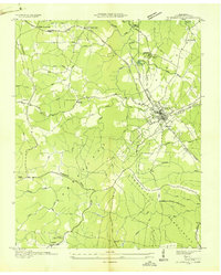
1936 · Crossville
USGS Topo · 1:24,000

1943 · Cookeville
USGS Topo · 1:100,000