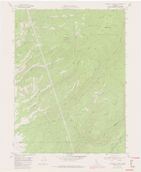
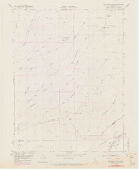
1952 Map of Campbell Mound
USGS Topo · Published 1980About this map
Lassen National Forest terrain dominates this survey of the rugged interface between Tehama and Butte counties. The landscape is defined by the high prominence of Campbell Mound and the deeply incised drainage of Campbell Creek, which flows southwest toward the Central Valley. Remote outposts like Baccala Cabin and Franks Cabin suggest the area's history of seasonal grazing and timber management, connected by a network of primitive routes such as the Pack Trail and Campbellville Road.
Find a feature on this map
29 named features on this map. Tap any name to fly to it.
Don’t see what you’re looking for? This feature index may not catch every label — zoom into the map to look around manually.
Map Details
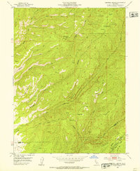
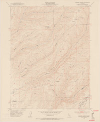
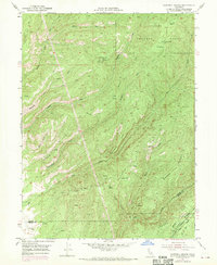
Editions of this 1952 Campbell Mound Map
5 editions found
Other maps of this area

1886 · Lassen Peak
USGS Topo · 1:250,000

1891 · Chico
USGS Topo · 1:125,000

1892 · Lassen Peak
USGS Topo · 1:250,000

1893 · Chico
USGS Topo · 1:125,000

1894 · Lassen Peak
USGS Topo · 1:250,000

1895 · Chico
USGS Topo · 1:125,000

1912 · Nord
USGS Topo · 1:31,680

1912 · Keefers
USGS Topo · 1:31,680

1912 · Singer Creek
USGS Topo · 1:31,680

1935 · Paynes Creek
USGS Topo · 1:96,000