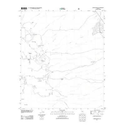
2011 Map of Campo Bonito
USGS Topo · Published 2011About this map
San Manuel stands as the primary hub of development in this desert landscape, where the grid of neighborhood streets like S Avenue B and Erikson Ave meets the arid drainage systems of the Big Wash. The region is defined by a network of historic cattle operations and homesteads, including the Kannally Ranch, C O D Ranch, and American Flag Ranch. These settlements are connected by rugged corridors such as Cody Loop Rd and S Mt Lemmon Rd, reflecting a landscape utilized for both ranching and recreation.
Find a feature on this map
57 named features on this map. Tap any name to fly to it.
Don’t see what you’re looking for? This feature index may not catch every label — zoom into the map to look around manually.
Map Details
Editions of this 2011 Campo Bonito Map
This is the sole edition of this map. No revisions or reprints were ever made.
Other maps of this area

1904 · Tucson
USGS Topo · 1:125,000

1905 · Tucson
USGS Topo · 1:125,000

1911 · Winkelman
USGS Topo · 1:125,000

1913 · Winkelman
USGS Topo · 1:125,000

1948 · Clark Ranch
USGS Topo · 1:24,000

1948 · Mammoth
USGS Topo · 1:62,500

1948 · Mammoth
USGS Topo · 1:24,000

1948 · Campo Bonito
USGS Topo · 1:24,000

1948 · Peppersauce Wash
USGS Topo · 1:24,000

1949 · Clark Ranch
USGS Topo · 1:24,000