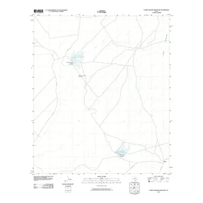
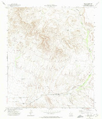
2010 Map of Campo Grande Mountain
USGS Topo · Published 2010About this map
Campo Grande Mountain dominates the center of this West Texas landscape, a region defined by arid drainages and isolated infrastructure in the early 21st century. The map highlights the essential role of water management in the high desert, featuring the Soil Conservation Service Site 1 Reservoir and its associated Soil Conservation Service Site 1 Dam. These engineering features sit amidst a network of desert tracks including Wilkey Rd and Diablo Rd, which navigate the rugged contours leading toward the eastern Finlay Mountains.
Find a feature on this map
11 named features on this map. Tap any name to fly to it.
Don’t see what you’re looking for? This feature index may not catch every label — zoom into the map to look around manually.
Map Details
Editions of this 2010 Campo Grande Mountain Map
This is the sole edition of this map. No revisions or reprints were ever made.
Other maps of this area

1894 · Fort Hancock
USGS Topo · 1:125,000

1943 · Fort Quitman
USGS Topo · 1:62,500

1943 · Finlay Mountains
USGS Topo · 1:62,500

1943 · Fort Hancock
USGS Topo · 1:62,500
1943 · McNary
USGS Topo · 1:62,500

1954 · Van Horn
USGS Topo · 1:250,000

1958 · Van Horn
USGS Topo · 1:250,000
1972 · Silver King Canyon
USGS Topo · 1:24,000
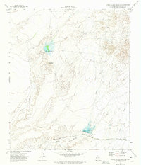
1972 · Campo Grande Mountain
USGS Topo · 1:24,000
1972 · Small
USGS Topo · 1:24,000