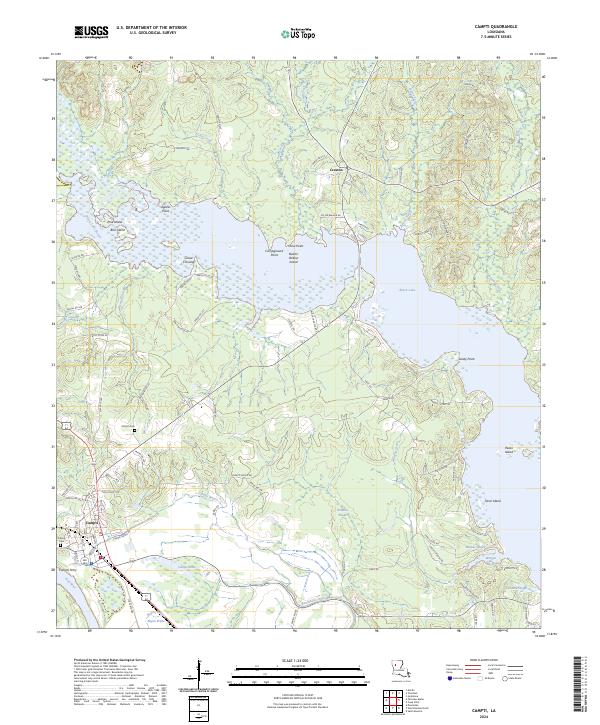
2024 Map of Campti
USGS Topo · Published 2024About this map
Black Lake dominates the upper half of this landscape, its waters dotted with family-named features like Stove Point, Button Willow Island, and Agness Point. The intricate shoreline and nearby wetlands, including Robeaux Brake and Campti Brake, reveal a terrain deeply shaped by the hydrology of Natchitoches Parish. In the south, the settlement of Campti serves as a focal point near the banks of the Red River, where the presence of the Campti Ferry marks a historic crossing point before modern infrastructure fully transformed the river corridor.
Find a feature on this map
92 named features on this map. Tap any name to fly to it.
Don’t see what you’re looking for? This feature index may not catch every label — zoom into the map to look around manually.
Map Details
Editions of this 2024 Campti Map
This is the sole edition of this map. No revisions or reprints were ever made.
Other maps of this area

1937 · Campti NE
USGS Topo · 1:31,680

1937 · Campti SE
USGS Topo · 1:31,680

1937 · Campti NW
USGS Topo · 1:31,680

1937 · Campti SW
USGS Topo · 1:31,680

1944 · Campti
USGS Topo · 1:62,500

1947 · Goldonna
USGS Topo · 1:62,500

1947 · Ashland
USGS Topo · 1:62,500

1948 · Campti
USGS Topo · 1:62,500

1949 · Calvin NW
USGS Topo · 1:31,680

1949 · Calvin SW
USGS Topo · 1:31,680