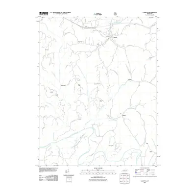
2011 Map of Campton
USGS Topo · Published 2011About this map
Campton serves as the focal point of this region, situated near the northern edge of the map where Campion Lake and the Campton Post Office are located. The landscape is defined by the winding course of the North Fork Kentucky River and a dense network of high ridges, including Sandy Ridge and Booth Ridge. For those researching local family history, several burial grounds are scattered throughout the hills, such as Evans Cemetery, Carroll Cemetery, and Crow Cemetery. Smaller settlements and crossroads like Vortex, Antioch, and Grannie suggest the persistent rural patterns of Wolfe County in the early 21st century. The map also highlights natural features like High Falls and numerous branches like Bloody Creek and Lower Devil Creek, which drain the deeply dissected plateau.
Find a feature on this map
70 named features on this map. Tap any name to fly to it.
Don’t see what you’re looking for? This feature index may not catch every label — zoom into the map to look around manually.
Map Details
Editions of this 2011 Campton Map
This is the sole edition of this map. No revisions or reprints were ever made.
Other maps of this area

1889 · Salyersville
USGS Topo · 1:125,000

1891 · Salyersville
USGS Topo · 1:125,000

1892 · Beattyville
USGS Topo · 1:125,000

1899 · Salyersville
USGS Topo · 1:125,000

1951 · Landsaw
USGS Topo · 1:24,000

1951 · Hazel Green
USGS Topo · 1:24,000

1951 · Pomeroyton
USGS Topo · 1:24,000

1951 · Jackson
USGS Topo · 1:24,000

1952 · Slade
USGS Topo · 1:24,000

1952 · Tallega
USGS Topo · 1:24,000