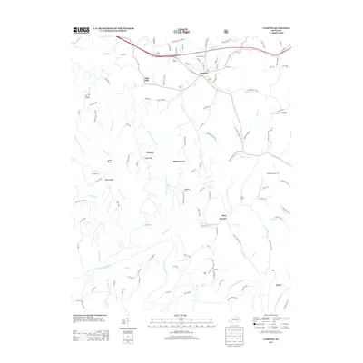
2013 Map of Campton
USGS Topo · Published 2013About this map
Campton serves as the central hub of this eastern Kentucky landscape, where the town’s street grid transitions into a network of winding hollows and ridges. The topography is defined by the sharp descent from Sandy Ridge and Booth Ridge down toward the N Fork Kentucky River, which carves the southern boundary of the map. Smaller communities like Vortex, Mary Antioch, and Grannie are connected by narrow roads such as Lower Devils Creek RD, tracing the natural paths dictated by the complex drainage systems of Lower Devil Cr and Bloody Cr.
Find a feature on this map
130 named features on this map. Tap any name to fly to it.
Don’t see what you’re looking for? This feature index may not catch every label — zoom into the map to look around manually.
Map Details
Editions of this 2013 Campton Map
This is the sole edition of this map. No revisions or reprints were ever made.
Other maps of this area

1889 · Salyersville
USGS Topo · 1:125,000

1891 · Salyersville
USGS Topo · 1:125,000

1892 · Beattyville
USGS Topo · 1:125,000

1899 · Salyersville
USGS Topo · 1:125,000

1951 · Landsaw
USGS Topo · 1:24,000

1951 · Hazel Green
USGS Topo · 1:24,000

1951 · Pomeroyton
USGS Topo · 1:24,000

1951 · Jackson
USGS Topo · 1:24,000

1952 · Slade
USGS Topo · 1:24,000

1952 · Tallega
USGS Topo · 1:24,000