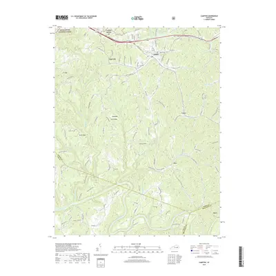
2019 Map of Campton
USGS Topo · Published 2019About this map
Campton serves as the focal point of this region, situated where the Bert T Combs Mountain Parkway meets local routes like Steele St and Main St. The landscape is defined by the sharp transition from the uplands of the Daniel Boone National Forest to the deeply incised valleys of the North Fork Kentucky River and its numerous tributaries. Small communities and named points such as Vortex, Mary, and Grannie are scattered along the ridgelines and creek beds, illustrating the traditional Appalachian settlement pattern where habitation follows the topography of places like Sandy Ridge and Tar Ridge. Family history is well-represented through numerous burial sites, including Evans Cem, Crow Cem, and Carroll Cem, which remain tucked away near secondary roads. The northern reach is distinguished by Campton Lake and the drainage of Swift Camp Cr, while the southern boundary tracks the winding course of the river near Hurst.
Find a feature on this map
48 named features on this map. Tap any name to fly to it.
Don’t see what you’re looking for? This feature index may not catch every label — zoom into the map to look around manually.
Map Details
Editions of this 2019 Campton Map
This is the sole edition of this map. No revisions or reprints were ever made.
Other maps of this area

1889 · Salyersville
USGS Topo · 1:125,000

1891 · Salyersville
USGS Topo · 1:125,000

1892 · Beattyville
USGS Topo · 1:125,000

1899 · Salyersville
USGS Topo · 1:125,000

1951 · Landsaw
USGS Topo · 1:24,000

1951 · Hazel Green
USGS Topo · 1:24,000

1951 · Pomeroyton
USGS Topo · 1:24,000

1951 · Jackson
USGS Topo · 1:24,000

1952 · Slade
USGS Topo · 1:24,000

1952 · Tallega
USGS Topo · 1:24,000