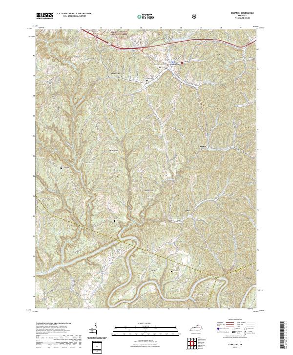
2022 Map of Campton
USGS Topo · Published 2022About this map
The County Judicial Center in Campton serves as a central hub for this portion of the Cumberland Plateau, where the town's grid of streets like Washington St and Back St quickly gives way to a complex system of ridges and deep drainage basins. High points such as Tar Ridge and Sandy Ridge dictate the movement of local travel, with many routes following the narrow crests above Swift Camp Cr and Upper Devil Cr.
Find a feature on this map
132 named features on this map. Tap any name to fly to it.
Don’t see what you’re looking for? This feature index may not catch every label — zoom into the map to look around manually.
Map Details
Editions of this 2022 Campton Map
This is the sole edition of this map. No revisions or reprints were ever made.
Other maps of this area

1889 · Salyersville
USGS Topo · 1:125,000

1891 · Salyersville
USGS Topo · 1:125,000

1892 · Beattyville
USGS Topo · 1:125,000

1899 · Salyersville
USGS Topo · 1:125,000

1951 · Landsaw
USGS Topo · 1:24,000

1951 · Hazel Green
USGS Topo · 1:24,000

1951 · Pomeroyton
USGS Topo · 1:24,000

1951 · Jackson
USGS Topo · 1:24,000

1952 · Slade
USGS Topo · 1:24,000

1952 · Tallega
USGS Topo · 1:24,000