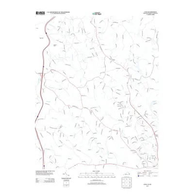
2013 Map of Cana
USGS Topo · Published 2013About this map
Cana sits at the heart of this landscape along the Virginia and North Carolina border, where the Piedmont begins its ascent toward the Blue Ridge. The terrain is defined by a dense network of waterways including Stewarts Cr, Pauls Cr, and Lovills Cr, which carve through the land near prominent elevations like Sugarloaf and Wheeler Knob. In the south, the settlement of Toast marks a point of transition as the rural topography shifts toward the outskirts of Mount Airy. The map reveals a high density of named local roads and lanes such as Flower Gap Rd and Old Goodspur Trl, tracing the residential and agricultural development of the early 21st century. Significant water features like Greenhill Lake and Dry Lake provide distinct landmarks for local navigation and property history.
Find a feature on this map
244 named features on this map. Tap any name to fly to it.
Don’t see what you’re looking for? This feature index may not catch every label — zoom into the map to look around manually.
Map Details
Editions of this 2013 Cana Map
This is the sole edition of this map. No revisions or reprints were ever made.
Other maps of this area

1889 · Hillsville
USGS Topo · 1:125,000

1891 · Yadkinville
USGS Topo · 1:125,000

1892 · Hillsville
USGS Topo · 1:125,000

1893 · Yadkinville
USGS Topo · 1:125,000

1896 · Hillsville
USGS Topo · 1:125,000

1931 · Galax
USGS Topo · 1:48,000

1933 · Galax
USGS Topo · 1:62,500

1953 · Winston-Salem
USGS Topo · 1:250,000

1955 · Winston-Salem
USGS Topo · 1:250,000

1957 · Mount Airy
USGS Topo · 1:62,500