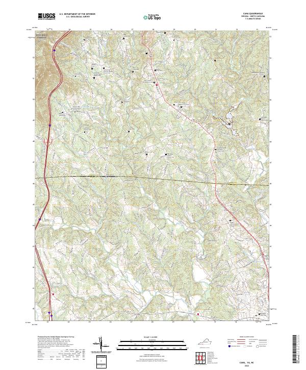
2022 Map of Cana
USGS Topo · Published 2022About this map
Saint Pauls Church of the Brethren and several primitive Baptist congregations anchor the social fabric of this rural landscape along the Virginia-North Carolina border. The terrain is defined by the winding course of Pauls Creek and Lovills Creek, with the prominent Blue Ridge Parkway tracing the high ground to the west. This 2022 survey reveals a dense concentration of family burial grounds, such as the Nathaniel Samuel Jones Family Cem and the King Family Cem, illustrating deep genealogical roots and long-held family land tracts. The presence of these small, scattered cemeteries alongside established landmarks like Flower Gap suggests a community that has maintained its traditional settlement patterns even as modern infrastructure like the N Andy Griffith Pkwy connects the region to larger centers. Near the southern boundary, City Lake and Dry Lake represent more recent water management in this creek-veined corner of Carroll County.
Find a feature on this map
214 named features on this map. Tap any name to fly to it.
Don’t see what you’re looking for? This feature index may not catch every label — zoom into the map to look around manually.
Map Details
Editions of this 2022 Cana Map
This is the sole edition of this map. No revisions or reprints were ever made.
Other maps of this area

1889 · Hillsville
USGS Topo · 1:125,000

1891 · Yadkinville
USGS Topo · 1:125,000

1892 · Hillsville
USGS Topo · 1:125,000

1893 · Yadkinville
USGS Topo · 1:125,000

1896 · Hillsville
USGS Topo · 1:125,000

1931 · Galax
USGS Topo · 1:48,000

1933 · Galax
USGS Topo · 1:62,500

1953 · Winston-Salem
USGS Topo · 1:250,000

1955 · Winston-Salem
USGS Topo · 1:250,000

1957 · Mount Airy
USGS Topo · 1:62,500