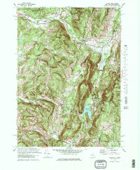
1973 Map of Canaan
USGS Topo · Published 1978About this map
Lebanon Springs and the surrounding valley floor serve as the focal point of this 1970s study, where the Penn Central railroad and the Wyomanock Creek converge. The landscape transitions from the developed corridors along the New York State Thruway Berkshire Spur to the elevated terrain of Perry Peak on the Massachusetts border. Local landmarks like the Shaker Museum and the Immaculate Conception Sem indicate a layer of institutional and cultural history integrated into the rural topography.
Find a feature on this map
48 named features on this map. Tap any name to fly to it.
Don’t see what you’re looking for? This feature index may not catch every label — zoom into the map to look around manually.
Map Details
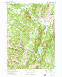
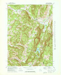
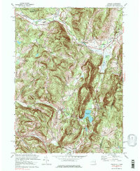
Editions of this 1973 Canaan Map
4 editions found
Other maps of this area

1888 · Berlin
USGS Topo · 1:62,500

1888 · Pittsfield
USGS Topo · 1:62,500

1890 · Pittsfield
USGS Topo · 1:62,500

1890 · Berlin
USGS Topo · 1:62,500

1893 · Troy
USGS Topo · 1:62,500

1893 · Pittsfield
USGS Topo · 1:62,500

1894 · Berlin
USGS Topo · 1:62,500

1894 · Pittsfield
USGS Topo · 1:62,500

1895 · Troy
USGS Topo · 1:62,500

1897 · Pittsfield
USGS Topo · 1:62,500