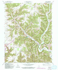
1971 Map of Canaan
USGS Topo · Published 1993About this map
Canaan and the surrounding townships of Monroe, Shelby, Madison, and Milton are defined by an intricate network of high ridges and deep hollows. The landscape is dominated by the West Fork Indian Kentucky Creek and its many tributaries, which have carved paths through the upland terrain. This topography dictated a settlement pattern where communities like Manville and China developed along the valley floors, while prominent landmarks such as Rykers Ridge Church and Mt Pleasant Church occupy the higher elevations of Rykers Ridge and Halls Ridge.
Find a feature on this map
68 named features on this map. Tap any name to fly to it.
Don’t see what you’re looking for? This feature index may not catch every label — zoom into the map to look around manually.
Map Details
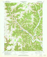
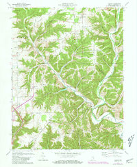
Editions of this 1971 Canaan Map
3 editions found
Other maps of this area

1939 · Madison West
USGS Topo · 1:24,000

1943 · Brooksburg
USGS Topo · 1:24,000

1948 · Madison West
USGS Topo · 1:24,000

1953 · Madison West
USGS Topo · 1:24,000

1953 · Carrollton
USGS Topo · 1:24,000

1953 · Madison East
USGS Topo · 1:24,000

1956 · Clifty Falls
USGS Topo · 1:24,000

1956 · Bennington
USGS Topo · 1:24,000

1956 · Canaan
USGS Topo · 1:24,000

1956 · Louisville
USGS Topo · 1:250,000