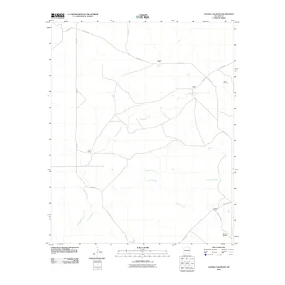
2010 Map of Canada Colorado
USGS Topo · Published 2010About this map
Alamogordo Creek and the ephemeral drainage of Arroyo Colorado define this high plains landscape of Guadalupe County. The area is characterized by a sparse network of ranching homesteads connected by unpaved county routes, reflecting a late 20th and early 21st-century agricultural economy. Notable family-named landholdings include Claunch Ranch, Alamo Ranch, Avant Ranch, and Killough Ranch. These properties are tied to a geography where water and terrain dictate settlement, seen in the way roads like County Rd-2 and County Rd-2R skirt the drainage basins. Near the eastern edge, the Alamo Cemetery provides a specific point of interest for genealogists, while the prominent Mesita del Anil rises in the southeast, serving as a distinct natural landmark amidst the sweeping cattle country of Cañada Colorado.
Find a feature on this map
17 named features on this map. Tap any name to fly to it.
Don’t see what you’re looking for? This feature index may not catch every label — zoom into the map to look around manually.
Map Details
Editions of this 2010 Canada Colorado Map
This is the sole edition of this map. No revisions or reprints were ever made.
Other maps of this area

1954 · Fort Sumner
USGS Topo · 1:250,000

1958 · Fort Sumner
USGS Topo · 1:250,000

1964 · Canada Colorado
USGS Topo · 1:24,000

1964 · Fallon Ranch
USGS Topo · 1:24,000
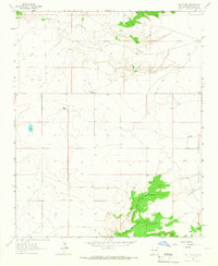
1964 · Salt Lake
USGS Topo · 1:24,000
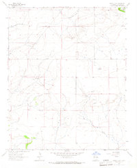
1964 · Harben Lake
USGS Topo · 1:24,000

1966 · Gibbons Ranch
USGS Topo · 1:24,000

1966 · Colorado Canyon
USGS Topo · 1:24,000

1968 · Twin Mesa NW
USGS Topo · 1:24,000
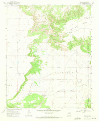
1968 · Ima NW
USGS Topo · 1:24,000