
1964 Map of Fallon Ranch
USGS Topo · Published 1967About this map
Mount Zion Cem sits on a high ridge overlooking a landscape defined by the drainage networks of the Arroyo San Juan de Dios and Arroyo Potrillo. In the mid-1960s, this portion of Guadalupe County was a domain of isolated ranching outposts, where survival depended on water sources like Nickelson Well. The map captures the distribution of legacy family holdings including Fallon Ranch and Slaton Ranch, connected only by unimproved dirt tracks across the high plains. Far to the south, Bray Ranch and Johnson Ranch mark the extent of settlement in this arid territory, providing a precise spatial record of human habitation before modern ranching consolidations or land use changes altered the historical footprint of these established properties.
Find a feature on this map
8 named features on this map. Tap any name to fly to it.
Don’t see what you’re looking for? This feature index may not catch every label — zoom into the map to look around manually.
Map Details
Editions of this 1964 Fallon Ranch Map
This is the sole edition of this map. No revisions or reprints were ever made.
Other maps of this area

1954 · Fort Sumner
USGS Topo · 1:250,000

1958 · Fort Sumner
USGS Topo · 1:250,000

1963 · Sunshine Mesa
USGS Topo · 1:24,000

1963 · Puerto De Luna
USGS Topo · 1:24,000

1964 · Canada Colorado
USGS Topo · 1:24,000
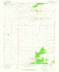
1964 · Salt Lake
USGS Topo · 1:24,000
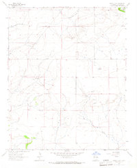
1964 · Harben Lake
USGS Topo · 1:24,000

1966 · Gibbons Ranch
USGS Topo · 1:24,000

1966 · Ojo Negro Creek
USGS Topo · 1:24,000

1966 · Colorado Canyon
USGS Topo · 1:24,000