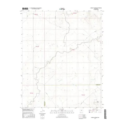
2017 Map of Canada Colorado
USGS Topo · Published 2017About this map
Alamogordo Creek winds through this high plains landscape on the border of Guadalupe and De Baca Counties. The terrain is defined by the carved drainage systems of Arroyo Colorado and the namesake Cañada Colorado, which intersect the ranching country of eastern New Mexico. In the northeastern corner, the Alamo Cem serves as a small but significant landmark for genealogists and local historians, situated near Anderson Rd and Ola Rd.
Find a feature on this map
24 named features on this map. Tap any name to fly to it.
Don’t see what you’re looking for? This feature index may not catch every label — zoom into the map to look around manually.
Map Details
Editions of this 2017 Canada Colorado Map
This is the sole edition of this map. No revisions or reprints were ever made.
Other maps of this area

1954 · Fort Sumner
USGS Topo · 1:250,000

1958 · Fort Sumner
USGS Topo · 1:250,000

1964 · Canada Colorado
USGS Topo · 1:24,000

1964 · Fallon Ranch
USGS Topo · 1:24,000
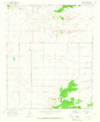
1964 · Salt Lake
USGS Topo · 1:24,000
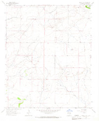
1964 · Harben Lake
USGS Topo · 1:24,000

1966 · Gibbons Ranch
USGS Topo · 1:24,000

1966 · Colorado Canyon
USGS Topo · 1:24,000

1968 · Twin Mesa NW
USGS Topo · 1:24,000
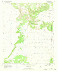
1968 · Ima NW
USGS Topo · 1:24,000