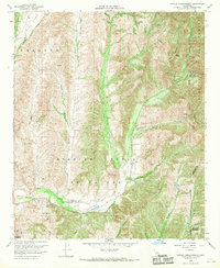
1968 Map of Canada Gobernadora
USGS Topo · Published 1970About this map
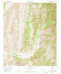
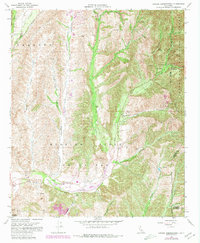
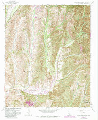
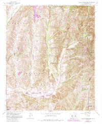
Mission Viejo and Or La Paz define the southern landscape of this coastal range map, where the terrain is carved by deep drainage systems like Canada Gobernadora and Bell Canyon. The area includes the historic San Francisco Solano (Site) near Arroyo Trabuco, indicating early California settlement patterns before modern suburban expansion. Large portions of the eastern terrain are protected within the Cleveland National Forest, marked by steep ridges and a series of firebreaks. Resource extraction is evident through the Gravel Pit and Quarry located along the northern banks of San Juan Creek. The map also captures infrastructure such as the Youth Conservation Camp in Lucas Canyon, alongside numerous water management features like Crow Spring and various tanks scattered through the private ranch lands.
Find a feature on this map
33 named features on this map. Tap any name to fly to it.
Don’t see what you’re looking for? This feature index may not catch every label — zoom into the map to look around manually.
Map Details
Editions of this 1968 Canada Gobernadora Map
8 editions found
Other maps of this area

1901 · Southern California Sheet No. 1
USGS Topo · 1:250,000

1901 · Elsinore
USGS Topo · 1:125,000

1901 · San Luis Rey
USGS Topo · 1:125,000

1902 · Capistrano
USGS Topo · 1:125,000

1902 · Corona
USGS Topo · 1:125,000

1904 · Southern California Sheet No. 2
USGS Topo · 1:250,000

1904 · Southern California Sheet No. 1
USGS Topo · 1:250,000

1906 · Capistrano
USGS Topo · 1:125,000

1935 · El Toro
USGS Topo · 1:31,680

1941 · Margarita Peak
USGS Topo · 1:62,500