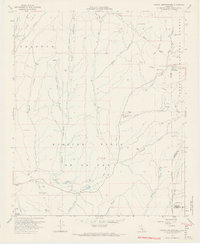
1968 Map of Canada Gobernadora
USGS Topo · Published 1970About this map
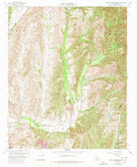
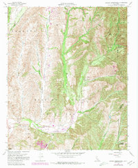
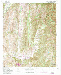
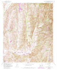
Plano Trabuco and the surrounding canyons of south Orange County appear here in a state of transition during the late 1960s. While the expanding footprints of Mission Viejo or La Paz and the outskirts of San Juan Capistrano are evident, much of the landscape remains defined by drainage systems like Canada Gobernadora, Canada Chiquita, and Wagon Wheel Canyon. The northeastern portion is dominated by the Cleveland National Forest, where labels for Crow Spring and Hot Spring Canyon suggest a wilder, less developed interior compared to the ranching and municipal growth further south. Evidence of local industry and infrastructure is visible at the Gravel Pit and a Youth Conservation Camp, while the San Francisco Solano (Site) provides a specific point of interest for those studying the area's historical mission-era geography.
Find a feature on this map
35 named features on this map. Tap any name to fly to it.
Don’t see what you’re looking for? This feature index may not catch every label — zoom into the map to look around manually.
Map Details
Editions of this 1968 Canada Gobernadora Map
8 editions found
Other maps of this area

1901 · Southern California Sheet No. 1
USGS Topo · 1:250,000

1901 · Elsinore
USGS Topo · 1:125,000

1901 · San Luis Rey
USGS Topo · 1:125,000

1902 · Capistrano
USGS Topo · 1:125,000

1902 · Corona
USGS Topo · 1:125,000

1904 · Southern California Sheet No. 2
USGS Topo · 1:250,000

1904 · Southern California Sheet No. 1
USGS Topo · 1:250,000

1906 · Capistrano
USGS Topo · 1:125,000

1935 · El Toro
USGS Topo · 1:31,680

1941 · Margarita Peak
USGS Topo · 1:62,500