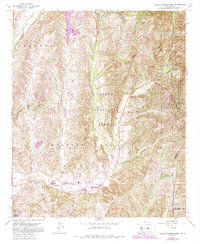
1968 Map of Canada Gobernadora
USGS Topo · Published 1988About this map
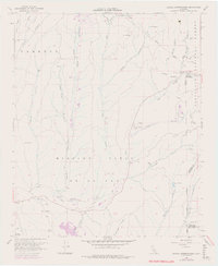
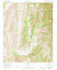
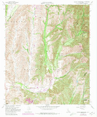
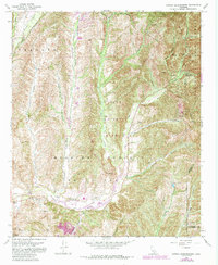
Arroyo Trabuco and Cañada Gobernadora define the drainage patterns of this Southern California landscape during the late 1960s. The map illustrates a transitional period where agricultural and ranching terrain like Plano Trabuco meets increasing infrastructure development, such as the Gravel Pit near San Juan Creek and the Gaging Station. Historical markers like the San Francisco Solano (Site) provide a window into the area's earlier mission-era history, while more recent designations include Casper Regional Park and the San Mateo Canyon Wilderness. The presence of San Juan Station and the Firebreak system across the canyons of the Cleveland National Forest highlights the region's ongoing management of its wildland-urban interface. Complex canyon systems like Wagon Wheel Canyon and Bell Canyon dominate the topography, reflecting the natural barriers that once shaped early settlement and ranching boundaries.
Find a feature on this map
32 named features on this map. Tap any name to fly to it.
Don’t see what you’re looking for? This feature index may not catch every label — zoom into the map to look around manually.
Map Details
Editions of this 1968 Canada Gobernadora Map
8 editions found
Other maps of this area

1901 · Southern California Sheet No. 1
USGS Topo · 1:250,000

1901 · Elsinore
USGS Topo · 1:125,000

1901 · San Luis Rey
USGS Topo · 1:125,000

1902 · Capistrano
USGS Topo · 1:125,000

1902 · Corona
USGS Topo · 1:125,000

1904 · Southern California Sheet No. 2
USGS Topo · 1:250,000

1904 · Southern California Sheet No. 1
USGS Topo · 1:250,000

1906 · Capistrano
USGS Topo · 1:125,000

1935 · El Toro
USGS Topo · 1:31,680

1941 · Margarita Peak
USGS Topo · 1:62,500