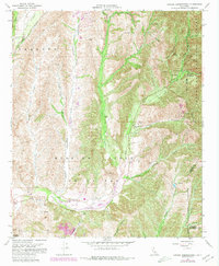
1968 Map of Canada Gobernadora
USGS Topo · Published 1980About this map
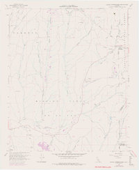
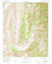
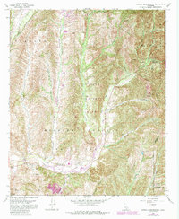
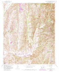
San Juan Hot Springs and the eastern reaches of the historic Mission Viejo land grant define this landscape in the late 1960s. The map captures the canyon-and-creek geography of southern Orange County before significant suburban expansion, marking several historic locations such as the San Francisco Solano (Site) and Mission Vieja (Site). Waterways like Arroyo Trabuco and Cañada Gobernadora dictate the local topography, while the eastern edge is dominated by the steep, wooded slopes of the Cleveland National Forest.
Find a feature on this map
41 named features on this map. Tap any name to fly to it.
Don’t see what you’re looking for? This feature index may not catch every label — zoom into the map to look around manually.
Map Details
Editions of this 1968 Canada Gobernadora Map
8 editions found
Other maps of this area

1901 · Southern California Sheet No. 1
USGS Topo · 1:250,000

1901 · Elsinore
USGS Topo · 1:125,000

1901 · San Luis Rey
USGS Topo · 1:125,000

1902 · Capistrano
USGS Topo · 1:125,000

1902 · Corona
USGS Topo · 1:125,000

1904 · Southern California Sheet No. 2
USGS Topo · 1:250,000

1904 · Southern California Sheet No. 1
USGS Topo · 1:250,000

1906 · Capistrano
USGS Topo · 1:125,000

1935 · El Toro
USGS Topo · 1:31,680

1941 · Margarita Peak
USGS Topo · 1:62,500