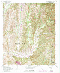
1968 Map of Canada Gobernadora
USGS Topo · Published 1984About this map
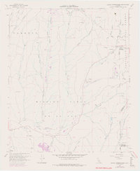
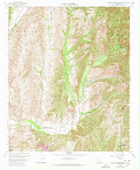
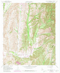
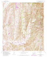
San Francisco Solano (Site) and Mission Vieja (Site) anchor this 1968 study of the Southern California landscape near San Juan Capistrano. The terrain is defined by a series of parallel canyons including Chiquita Canyon, Cañada Gobernadora, and Bell Canyon, which drain south toward the San Juan Creek valley. Most of the eastern portion is protected within the Cleveland National Forest, while the central valley transitioned into the Caspers Regional Park.
Find a feature on this map
38 named features on this map. Tap any name to fly to it.
Don’t see what you’re looking for? This feature index may not catch every label — zoom into the map to look around manually.
Map Details
Editions of this 1968 Canada Gobernadora Map
8 editions found
Other maps of this area

1901 · Southern California Sheet No. 1
USGS Topo · 1:250,000

1901 · Elsinore
USGS Topo · 1:125,000

1901 · San Luis Rey
USGS Topo · 1:125,000

1902 · Capistrano
USGS Topo · 1:125,000

1902 · Corona
USGS Topo · 1:125,000

1904 · Southern California Sheet No. 2
USGS Topo · 1:250,000

1904 · Southern California Sheet No. 1
USGS Topo · 1:250,000

1906 · Capistrano
USGS Topo · 1:125,000

1935 · El Toro
USGS Topo · 1:31,680

1941 · Margarita Peak
USGS Topo · 1:62,500