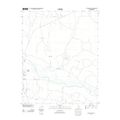
2012 Map of Canadian East
USGS Topo · Published 2012About this map
The braided channels of the Canadian River dominate the southern landscape of this Hemphill County quadrangle, where the terrain shifts from the river bottom toward the rolling plains of the Texas Panhandle. On the western edge, the outskirts of Canadian show a grid of residential streets like Locust St and Marshall Dr, providing a point of transition from the town center to the surrounding ranching country. North of the river, several drainage systems including Clear Creek and its western forks carve through the flats, leading toward localized landmarks like Tanner Flat.
Find a feature on this map
27 named features on this map. Tap any name to fly to it.
Don’t see what you’re looking for? This feature index may not catch every label — zoom into the map to look around manually.
Map Details
Editions of this 2012 Canadian East Map
This is the sole edition of this map. No revisions or reprints were ever made.
Other maps of this area

1954 · Perryton
USGS Topo · 1:250,000

1954 · Amarillo
USGS Topo · 1:250,000

1958 · Perryton
USGS Topo · 1:250,000

1958 · Amarillo
USGS Topo · 1:250,000

1967 · Mendota
USGS Topo · 1:24,000

1967 · Blue Ridge School
USGS Topo · 1:24,000

1967 · Canadian SE
USGS Topo · 1:24,000

1972 · Canadian West
USGS Topo · 1:24,000

1972 · Canadian East
USGS Topo · 1:24,000

1972 · Glazier
USGS Topo · 1:24,000