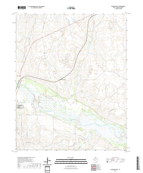
2022 Map of Canadian East
USGS Topo · Published 2022About this map
The Canadian River dominates the southern reaches of this Hemphill County landscape, its broad, braided channel carving through the Texas Panhandle. Along its northern banks, the eastern edge of Canadian serves as the primary settlement hub, where the Edith Ford Memorial Cemeteries provide a significant site for local genealogical research. Northward, the terrain transitions into the high plains of Tanner Flat, a distinctive level expanse drained by an intricate network of waterways including W Fork Clear Cr and the main stem of Clear Creek. The map documents a rural infrastructure of ranch roads and county routes, such as Ranch Rd 1920 and Lake Marvin Rd, which navigate the draws and breaks leading toward Persimmon Cr in the northeast.
Find a feature on this map
26 named features on this map. Tap any name to fly to it.
Don’t see what you’re looking for? This feature index may not catch every label — zoom into the map to look around manually.
Map Details
Editions of this 2022 Canadian East Map
This is the sole edition of this map. No revisions or reprints were ever made.
Other maps of this area

1954 · Perryton
USGS Topo · 1:250,000

1954 · Amarillo
USGS Topo · 1:250,000

1958 · Perryton
USGS Topo · 1:250,000

1958 · Amarillo
USGS Topo · 1:250,000

1967 · Mendota
USGS Topo · 1:24,000

1967 · Blue Ridge School
USGS Topo · 1:24,000

1967 · Canadian SE
USGS Topo · 1:24,000

1972 · Canadian West
USGS Topo · 1:24,000

1972 · Canadian East
USGS Topo · 1:24,000

1972 · Glazier
USGS Topo · 1:24,000