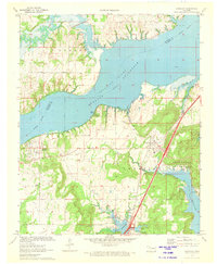
1971 Map of Canadian
USGS Topo · Published 1972About this map
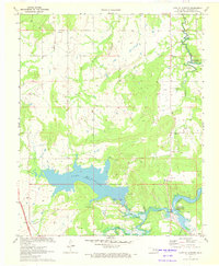
The massive expanse of Eufaula Canadian River Reservoir dominates this 1971 survey, showing the transformative impact of mid-century water management on the topography of McIntosh and Pittsburg Counties. The town of Canadian and the community of Gibson sit just west of the reservoir's fingers, while the Missouri Kansas Texas Railroad cuts a sharp line across the southeastern landscape. This period reflects a transition from traditional upland agriculture to recreation and conservation, evidenced by the development of Arrowhead State Park and Canadian Shores.
Find a feature on this map
30 named features on this map. Tap any name to fly to it.
Don’t see what you’re looking for? This feature index may not catch every label — zoom into the map to look around manually.
Map Details
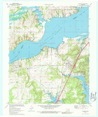
Editions of this 1971 Canadian Map
2 editions found
Other maps of this area

1900 · Canadian
USGS Topo · 1:125,000

1946 · Fort Smith
USGS Topo · 1:250,000

1962 · Raiford
USGS Topo · 1:24,000

1963 · Stidham
USGS Topo · 1:24,000

1963 · Eufaula
USGS Topo · 1:24,000

1965 · Fort Smith
USGS Topo · 1:250,000

1967 · Fort Smith
USGS Topo · 1:250,000
1971 · Blocker
USGS Topo · 1:24,000
1971 · Crowder
USGS Topo · 1:24,000
1971 · Lake Mc Alester
USGS Topo · 1:24,000