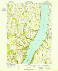
1951 Map of Canandaigua Lake
USGS Topo · Published 1952About this map
Canandaigua Lake dominates this 1951 landscape, its western and eastern shores punctuated by numerous points and deep gullies that define the local geography. Significant topographic features like Tichenor Gully and Menteth Gully drain the high ground towards the water, while points such as Otétiana Pt and Long Point provide historical reference markers for shoreline development. The western hills are cross-cut by a dense network of country roads like Wool House Road and Honey Hill Road, serving rural districts such as Cheshire.
Find a feature on this map
96 named features on this map. Tap any name to fly to it.
Don’t see what you’re looking for? This feature index may not catch every label — zoom into the map to look around manually.
Map Details
Editions of this 1951 Canandaigua Lake Map
4 editions found
Other maps of this area

1900 · Naples
USGS Topo · 1:62,500

1900 · Canandaigua
USGS Topo · 1:62,500

1902 · Phelps
USGS Topo · 1:62,500

1903 · Naples
USGS Topo · 1:62,500

1903 · Canandaigua
USGS Topo · 1:62,500

1903 · Penn Yan
USGS Topo · 1:62,500

1913 · Naples
USGS Topo · 1:62,500
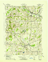
1942 · Victor
USGS Topo · 1:31,680
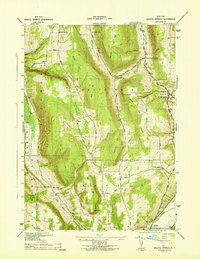
1942 · Bristol Springs
USGS Topo · 1:31,680

1942 · Middlesex
USGS Topo · 1:31,680