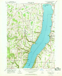
1951 Map of Canandaigua Lake
USGS Topo · Published 1969About this map
Canandaigua Lake anchors this mid-century survey, its deep waters flanked by a landscape of gullies, points, and family-named landmarks. The western shore is defined by dramatic terrain features like Menteth Point and Tichenor Point, where Menteth Gully and Tichenor Gully cut through the rising hills. Inland, the hamlet of Cheshire serves as a crossroads, surrounded by agricultural land and historic family burial grounds including Hunn Memorial Cemetery and Pine Bank Cemetery.
Find a feature on this map
80 named features on this map. Tap any name to fly to it.
Don’t see what you’re looking for? This feature index may not catch every label — zoom into the map to look around manually.
Map Details
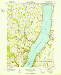
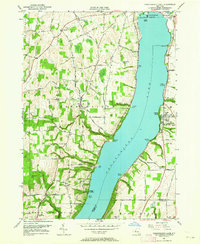
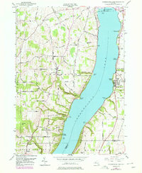
Editions of this 1951 Canandaigua Lake Map
4 editions found
Other maps of this area

1900 · Naples
USGS Topo · 1:62,500

1900 · Canandaigua
USGS Topo · 1:62,500

1902 · Phelps
USGS Topo · 1:62,500

1903 · Naples
USGS Topo · 1:62,500

1903 · Canandaigua
USGS Topo · 1:62,500

1903 · Penn Yan
USGS Topo · 1:62,500

1913 · Naples
USGS Topo · 1:62,500
1942 · Victor
USGS Topo · 1:31,680
1942 · Bristol Springs
USGS Topo · 1:31,680

1942 · Middlesex
USGS Topo · 1:31,680