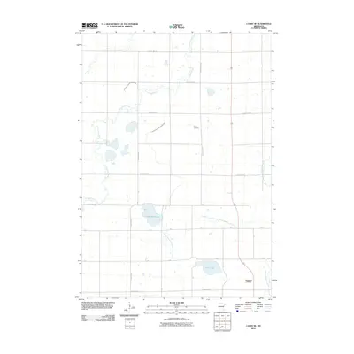
2010 Map of Canby SE
USGS Topo · Published 2010About this map
The Lac qui Parle River and the North Branch Yellow Medicine River wind across this agricultural landscape in Lincoln County, highlighting the intricate hydrology of southwestern Minnesota. The terrain is defined by its water management and natural basins, featuring the Bukowski Lakebed and substantial bodies of water such as Steep Bank Lake and Perch Lake. These natural features are supplemented by man-made alterations to the drainage system, documented here through labels like Judicial Ditch Number Nineteen and Judicial Ditch Number Twentyone.
Find a feature on this map
25 named features on this map. Tap any name to fly to it.
Don’t see what you’re looking for? This feature index may not catch every label — zoom into the map to look around manually.
Map Details
Editions of this 2010 Canby SE Map
This is the sole edition of this map. No revisions or reprints were ever made.
Other maps of this area

1953 · Watertown
USGS Topo · 1:250,000

1958 · Watertown
USGS Topo · 1:250,000

1963 · Arco
USGS Topo · 1:24,000

1967 · Canby
USGS Topo · 1:24,000

1967 · Canby NW
USGS Topo · 1:24,000

1967 · Porter
USGS Topo · 1:24,000
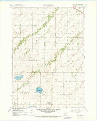
1967 · Porter SW
USGS Topo · 1:24,000

1967 · Lake Benton NW
USGS Topo · 1:24,000

1967 · Canby SE
USGS Topo · 1:24,000

1967 · Hendricks
USGS Topo · 1:24,000