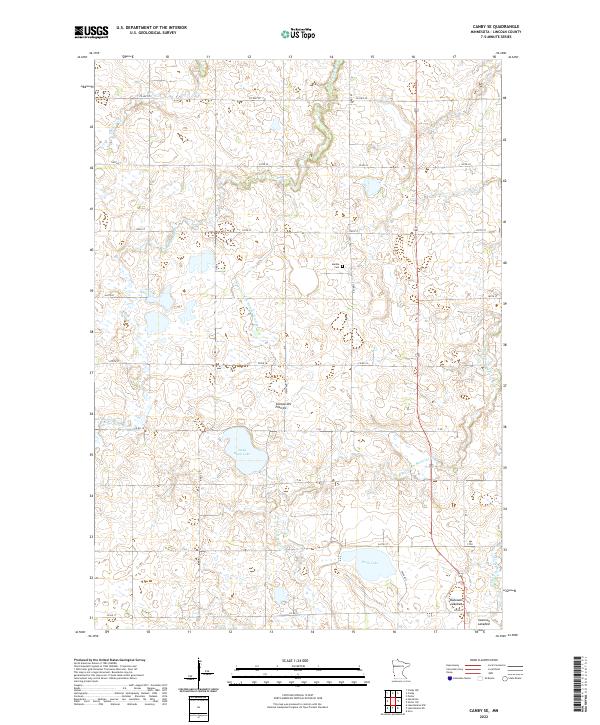
2022 Map of Canby SE
USGS Topo · Published 2022About this map
The Coteau des Prairies plateau dominates this section of Lincoln County, defining a landscape of glacial drift and water management in southwestern Minnesota. The intricate network of headwaters includes the Lac qui Parle River and the N Br Yellow Medicine River, which drain the agricultural tableland through a system of natural basins and human-engineered waterways like Judicial Ditch Number Nineteen. Significant water bodies such as Steep Bank Lake and Perch Lake are prominent, alongside specialized drainage areas like the Bukowski Lakebed and Swenson Lakebed. The rural character of the region is anchored by the Marble Cem and a grid of township roads including Co HWY 20 and Co RD 18, which facilitate movement across the productive prairie townships of T113N and T112N.
Find a feature on this map
25 named features on this map. Tap any name to fly to it.
Don’t see what you’re looking for? This feature index may not catch every label — zoom into the map to look around manually.
Map Details
Editions of this 2022 Canby SE Map
This is the sole edition of this map. No revisions or reprints were ever made.
Other maps of this area

1953 · Watertown
USGS Topo · 1:250,000

1958 · Watertown
USGS Topo · 1:250,000

1963 · Arco
USGS Topo · 1:24,000

1967 · Canby
USGS Topo · 1:24,000

1967 · Canby NW
USGS Topo · 1:24,000

1967 · Porter
USGS Topo · 1:24,000
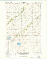
1967 · Porter SW
USGS Topo · 1:24,000

1967 · Lake Benton NW
USGS Topo · 1:24,000

1967 · Canby SE
USGS Topo · 1:24,000

1967 · Hendricks
USGS Topo · 1:24,000